Versions Compared

Key

  • This line was added.
  • This line was removed.
  • Formatting was changed.

...

Section
Column
width50%
Info
titleParameters to check


subpage_lower_left_longitude

subpage_lower_left_latitude
subpage_upper_right_longitude
subpage_upper_right_latitude
Code Block
themeConfluence
languagepython
titlePython - Setting a projection
collapsetrue
from Magics.macro import *
#setting the output 
output = output(    
                output_formats = ['png'],
                output_name = "map_step1",
                output_name_first_page_number = "off"
        )
#settings of the geographical area 
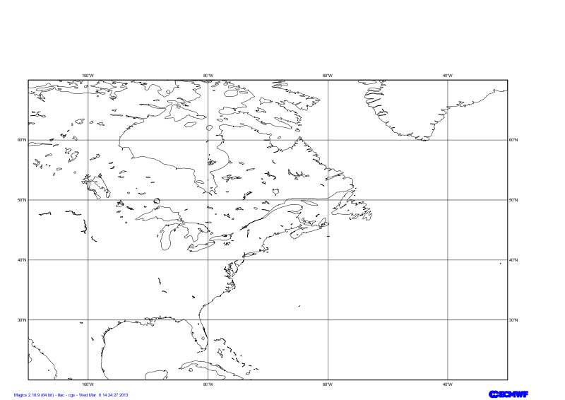
area = mmap(subpage_map_projection="cylindrical",
        subpage_lower_left_longitude=-110.,
        subpage_lower_left_latitude=20.,
        subpage_upper_right_longitude=-30.,
        subpage_upper_right_latitude=70.,
    )    
#Using a default coastlines to see the result
plot(output, area, mcoast())
Column
width200px

...

Section
Column
width50%
Info
titleParameters to check


map_coastline_land_shade

map_coastline_land_shade_colour
map_coastline_colour
map_grid_colour
map_grid_line_style
Code Block
themeConfluence
languagepython
titlePython - Coastlines
collapsetrue
from Magics.macro import *
#setting the output 
output = output(    
                output_formats = ['png'],
                output_name = "map_step2",
                output_name_first_page_number = "off"
        )
#settings of the geographical area 
area = mmap(subpage_map_projection="cylindrical",
        subpage_lower_left_longitude=-110.,
        subpage_lower_left_latitude=20.,
        subpage_upper_right_longitude=-30.,
        subpage_upper_right_latitude=70.,
    )     
 #settings of the caostlines
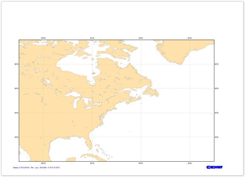
coast = mcoast(map_coastline_land_shade = "on",
      map_coastline_land_shade_colour = "cream",
      map_grid_line_style = "dash",
      map_grid_colour = "grey",
      map_label = "on",
      map_coastline_colour = "grey")
plot(output, area, coast)
Column
width200px


...

Section
Column
width50%
Info
titleParameters to check


mgrib action to load the data

grib_input_file_name
mcont action to define a contouring
contour_line_colour
contour_line_thickness
contour_highlight_colour
contour_highlight_thickness
contour_hilo
contour_level_selection_type
contour_interval
legend
contour_legend_text
Code Block
themeConfluence
languagepython
titlePython - Msl Visualisation
collapsetrue
from Magics.macro import *
#setting the output 
output = output(    
                output_formats = ['png'],
                output_name = "map_step3",
                output_name_first_page_number = "off"
        )
#settings of the geographical area 
area = mmap(subpage_map_projection="cylindrical",
        subpage_lower_left_longitude=-110.,
        subpage_lower_left_latitude=20.,
        subpage_upper_right_longitude=-30.,
        subpage_upper_right_latitude=70.,
    )     
 #settings of the caostlines
coast = mcoast(map_coastline_land_shade = "on",
      map_coastline_land_shade_colour = "cream",
      map_grid_line_style = "dash",
      map_grid_colour = "grey",
      map_label = "on",
      map_coastline_colour = "grey")
#Loading the msl Grib data
msl = mgrib(grib_input_file_name="msl.grib")
#Defining the controur
contour = mcont(contour_highlight_colour= "black",
                contour_highlight_thickness= 4,
                contour_hilo= "off",
                contour_interval= 5.,
                contour_label= "on",
                contour_label_frequency= 2,
                contour_label_height= 0.4,
                contour_level_selection_type= "interval",
                contour_line_colour= "black",
                contour_line_thickness= 2, 
                legend='on',
                contour_legend_text= "Mean Sea Level Pressure",
            )
plot(output, area, coast, msl, contour)
Column
width200px


...

Section
Column
width50%
Info
titleParameters to check


mgrib action to load the data

grib_input_file_name
grib_automatic_scaling
grib_scaling_factor
mcont action to define a contouring
contour_level_selection_type
contour_level_list
contour_shade
contour_shade_method
contour_shade_colour_method
contour_level_selection_type
contour_shade_colour_list
legend
Code Block
themeConfluence
languagepython
titlePython - Use of Shading
collapsetrue
#setting the output 
output = output(    
                output_formats = ['png'],
                output_name = "map_step4",
                output_name_first_page_number = "off"
        )
#settings of the geographical area 
area = mmap(subpage_map_projection="cylindrical",
        subpage_lower_left_longitude=-110.,
        subpage_lower_left_latitude=20.,
        subpage_upper_right_longitude=-30.,
        subpage_upper_right_latitude=70.,
    )     
 #settings of the caostlines
coast = mcoast(map_coastline_land_shade = "on",
      map_coastline_land_shade_colour = "cream",
      map_grid_line_style = "dash",
      map_grid_colour = "grey",
      map_label = "on",
      map_coastline_colour = "grey")
#definition of the input data
precip = mgrib(grib_input_file_name="precip.grib", 
    grib_automatic_scaling='off', 
    grib_scaling_factor=1000.)
shading = mcont( contour_highlight= "off",
    contour_hilo= "off",
    contour_label="off",
    contour_level_list=[0.5, 2., 4., 10., 25., 50., 100., 250.],
    contour_level_selection_type= "level_list",
    contour_shade= "on",
    contour_shade_method= "area_fill",
    contour_shade_colour_method= "list",
    contour_shade_colour_list= ["cyan", "greenish_blue", "blue", "bluish_purple", "magenta", "orange", "red", "charcoal"],
    legend="on")
    
plot(output, area, coast, precip, shading)
Column
width200px


...

Section
Column
width50%
Info
titleParameters to check


Useful legend parameters

legend

legend_display_type
legend_text_colour
legend_text_font_size
Code Block
themeConfluence
languagepython
titlePython - Overlay
collapsetrue
from Magics.macro import *
#setting the output 
output = output(    
                output_formats = ['png'],
                output_name = "map_step5",
                output_name_first_page_number = "off"
        )
#settings of the geographical area 
area = mmap(subpage_map_projection="cylindrical",
        subpage_lower_left_longitude=-110.,
        subpage_lower_left_latitude=20.,
        subpage_upper_right_longitude=-30.,
        subpage_upper_right_latitude=70.,
    )     
 #settings of the caostlines
coast = mcoast(map_coastline_land_shade = "on",
      map_coastline_land_shade_colour = "cream",
      map_grid_line_style = "dash",
      map_grid_colour = "grey",
      map_label = "on",
      map_coastline_colour = "grey")
#definition of the input data
precip = mgrib(grib_input_file_name="precip.grib", 
    grib_automatic_scaling='off', 
    grib_scaling_factor=1000.)
#definition of shading
shading = mcont( contour_highlight= "off",
    contour_hilo= "off",
    contour_label="off",
    contour_level_list=[0.5, 2., 4., 10., 25., 50., 100., 250.],
    contour_level_selection_type= "level_list",
    contour_shade= "on",
    contour_shade_method= "area_fill",
    contour_shade_colour_method= "list",
    contour_shade_colour_list= ["cyan", "greenish_blue", "blue", "bluish_purple", "magenta", "orange", "red", "charcoal"],
    legend="on")
#definition of msl
msl = mgrib(grib_input_file_name="msl.grib")
#Definition of the black contouring
contour = mcont( contour_highlight_colour= "black",
                contour_highlight_thickness= 4,
                contour_hilo= "off",
                contour_interval= 5.,
                contour_label= "on",
                contour_label_frequency= 2,
                contour_label_height= 0.4,
                contour_legend_text= "Mean Sea Level Pressure",
                contour_level_selection_type= "interval",
                contour_line_colour= "black",
                contour_line_thickness= 2,
                legend='on'
            )
#Definition of the legend
legend = mlegend(legend='on', 
            legend_display_type='continuous', 
            legend_text_colour='charcoal', 
            legend_text_font_size=0.4,
            )    
plot(output, area, coast, precip, shading, msl, contour, legend)
Column
width200px


Adding the position of New York City

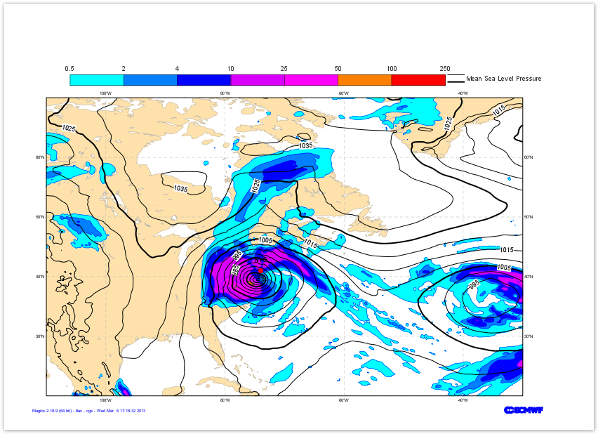
To demonstrate the use of symbols plotting, we are going to add a big red dot where New York City is.We will the add the text NYC in black on top of the dot.

The position of New York is [74oE, 41oN], we can give this position to Magics using the minput object, documented in Input Data Page.

The symbol is performed using the msymb object. You can find the full options in the Symbol Documentation.


Section
Column
width50%
Info
titleParameters to check


Useful input parameters

input_x_values

input_y_values
Useful Symbol parameters
symbol_colour
symbol_marker_index
symbol_height

symbol_type

symbol_text_list
symbol_text_font_size
symbol_text_font_colour
symbol_text_font_style
symbol_text_position
Code Block
themeConfluence
languagepython
titlePython - Overlay
collapsetrue
from Magics.macro import *
#setting the output 
output = output(    
                output_formats = ['png'],
                output_name = "map_step6",
                output_name_first_page_number = "off"
        )

             
#---------------------------------------
# definition of the previsous layers 
# ...
# ...
#---------------------------------------
#definition of New-York city
new_york = minput(
            input_x_values    =    [-74.],
            input_y_values    =    [41.]
            )
#definition of the symbol
point = msymb(
            symbol_type    =    "both",
            symbol_text_list    =    ["NYC"],
            symbol_marker_index    =    28,
            symbol_colour    =    "red",
            symbol_height    =    0.5,
            symbol_text_font_size = 0.40,
            symbol_text_font_colour = "black",
            symbol_text_position = "top",
            symbol_text_font_style = "bold ", 
            )
plot(output, area, coast, precip, shading, msl, contour, new_york, point, legend)
Column
width200px

 Image Added