Discussed in the following Daily reports:
Material from: Linus, Ervin, ...
Discussed in the following Daily reports: |
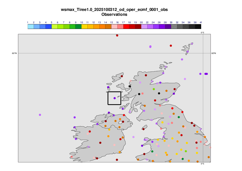
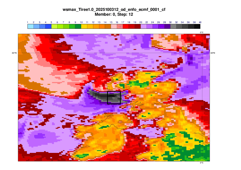
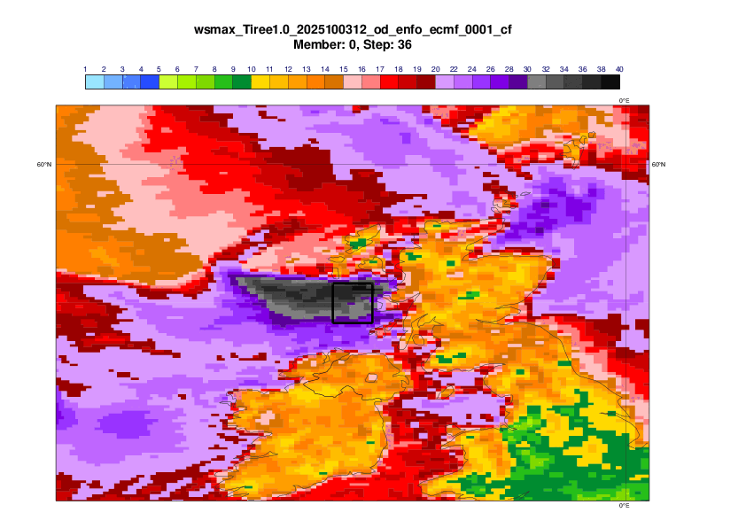
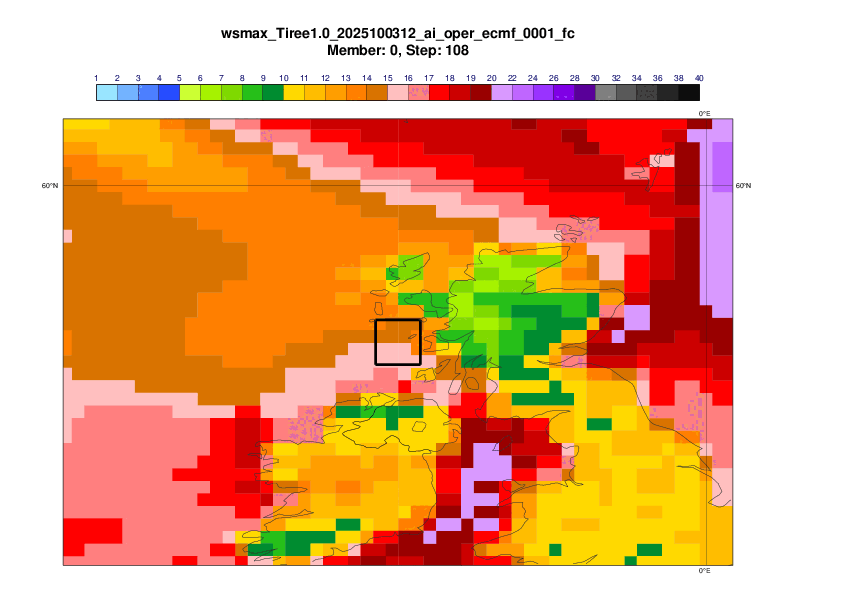
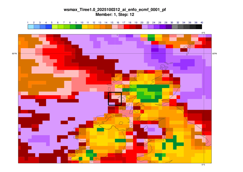
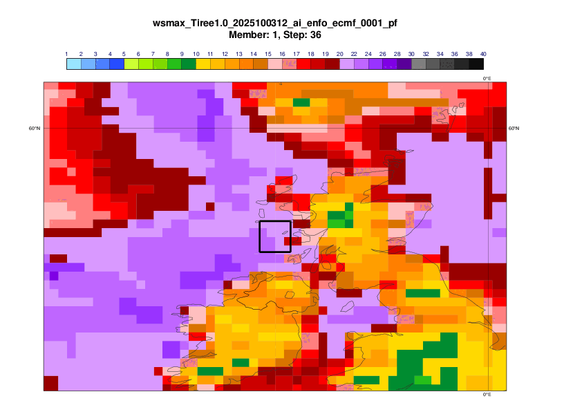
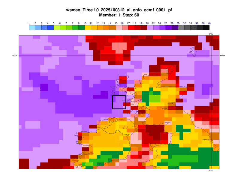
The evaluation will focus on the 24-hour maximum mean wind on 3 October 12UTC to 4 October 12UTC in the box 1x1 degree box centred on Tiree (56.5N, 6.9W)
The plots below show analyses of MSLP and 6 hour rainfall from 1 October 12UTC to 4 October 12UTC, every 12th hour.
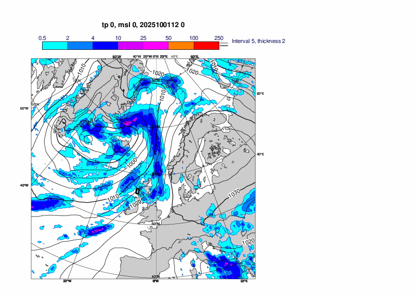
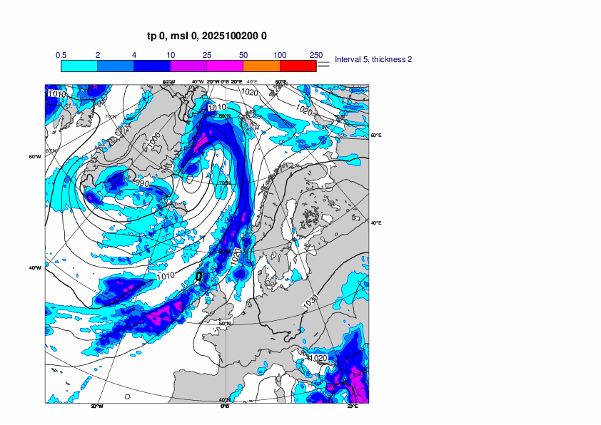
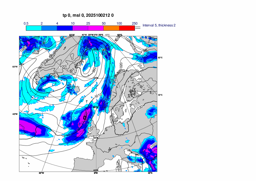
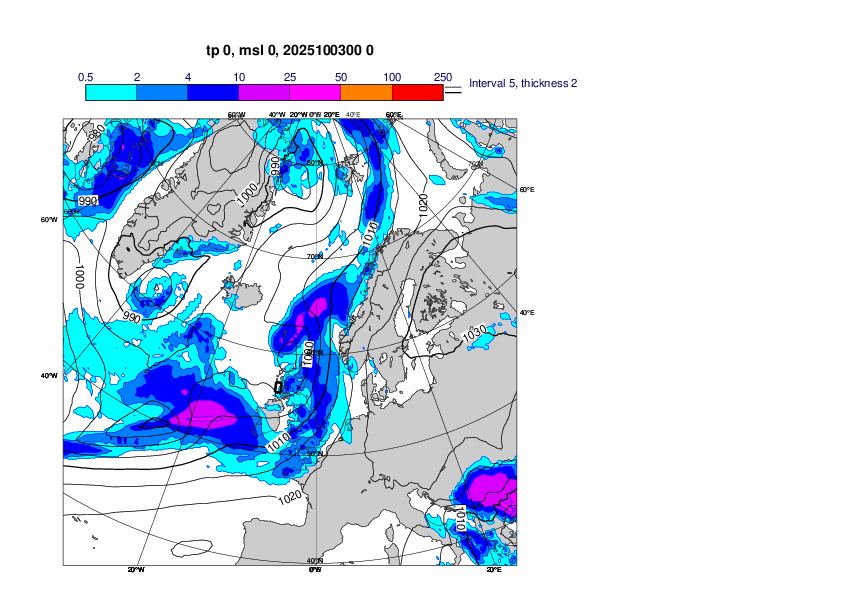
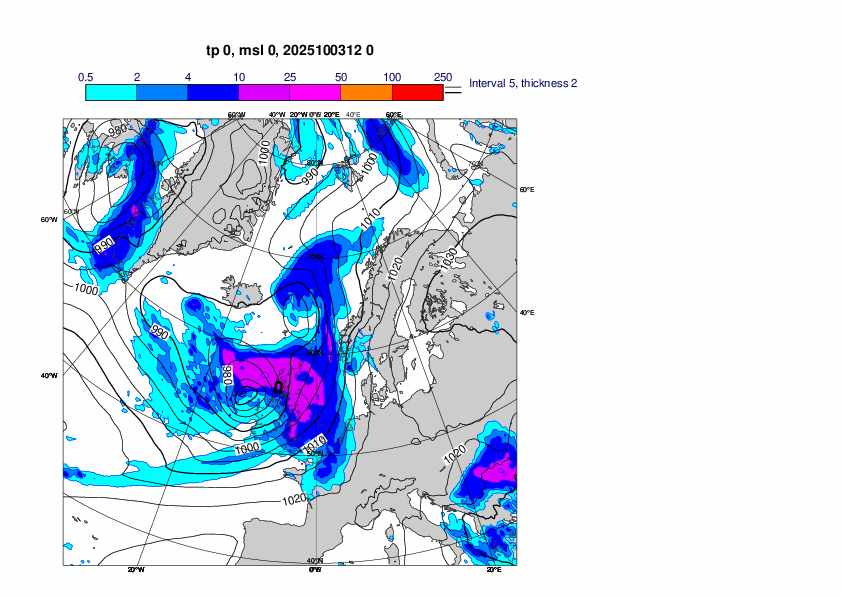
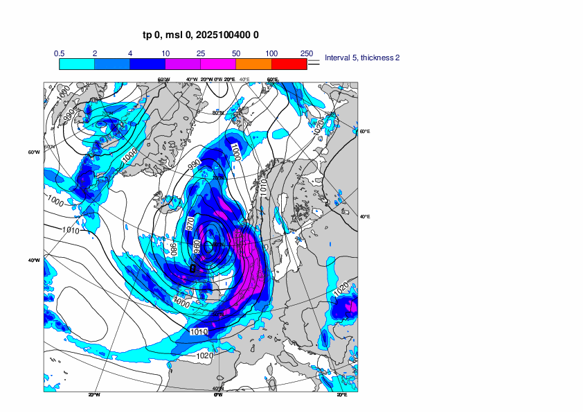
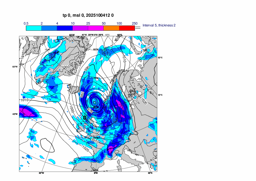
Observations and analysis for the event
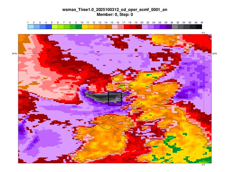
Control forecast (IFS 9-km resolution)
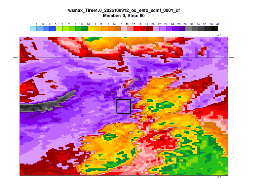
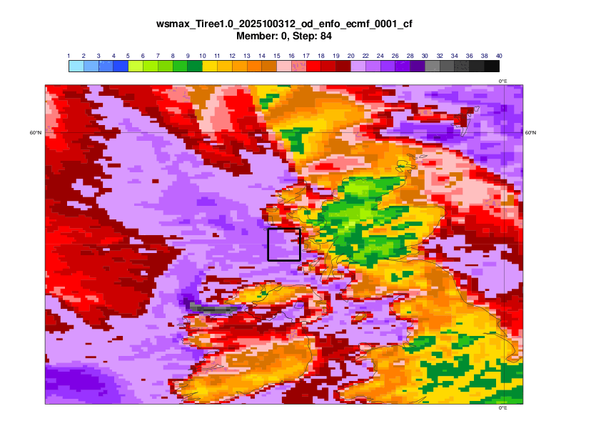
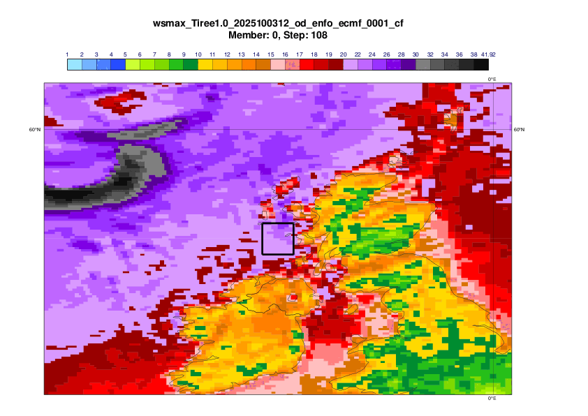
DestinE (IFS 4.4km resolution)
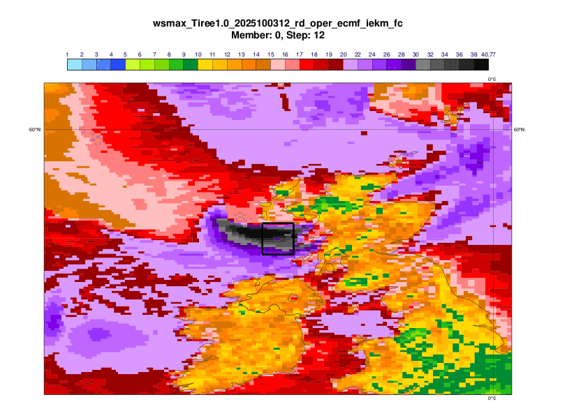
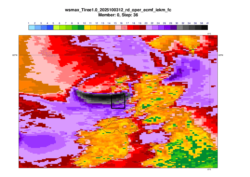
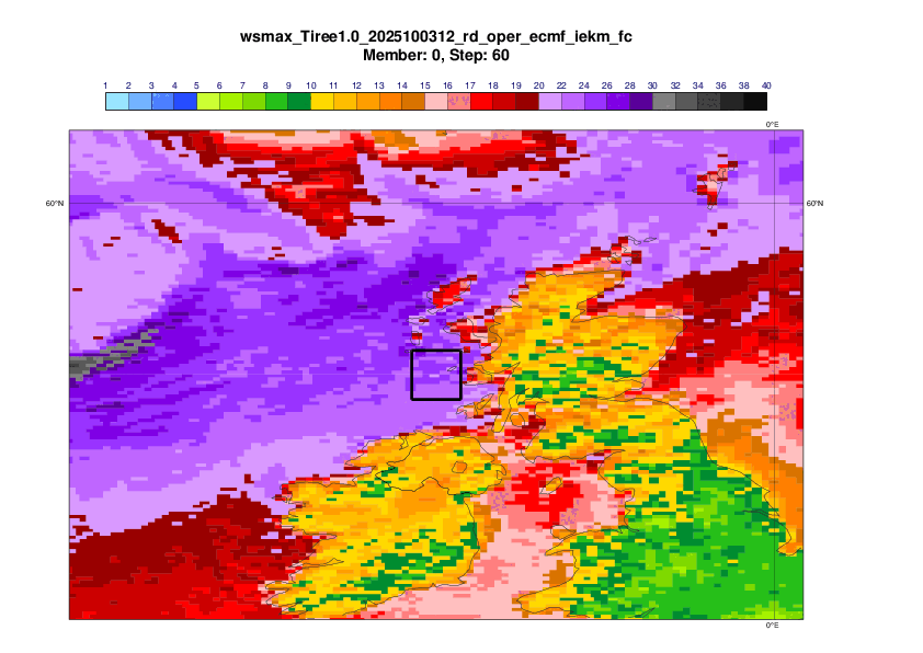
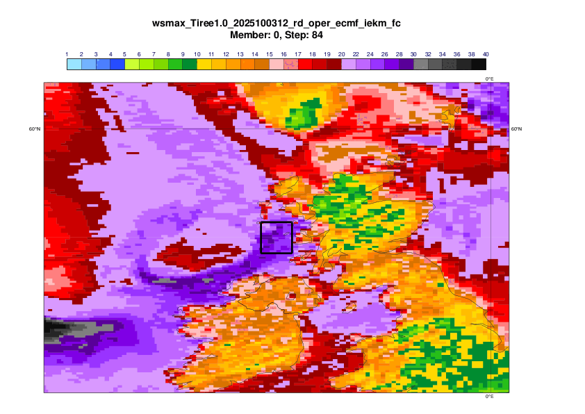
Hybrid
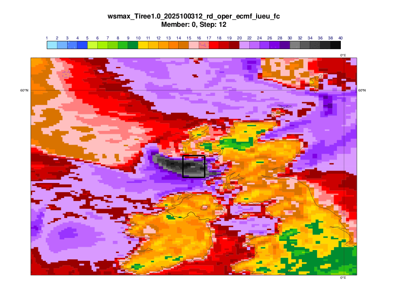
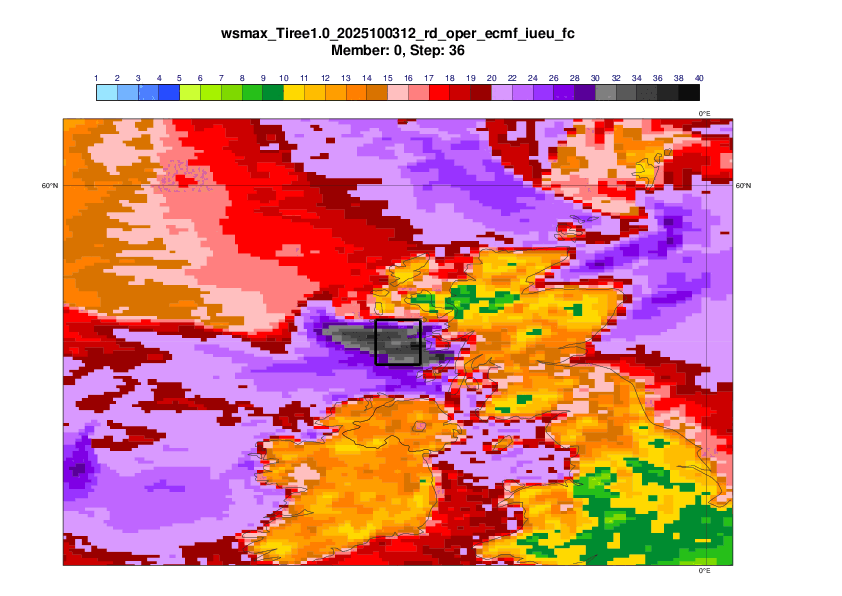
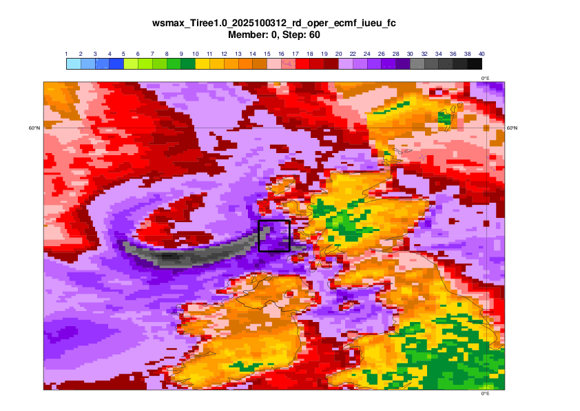
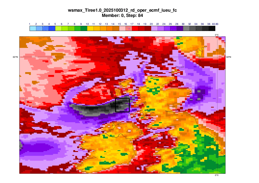
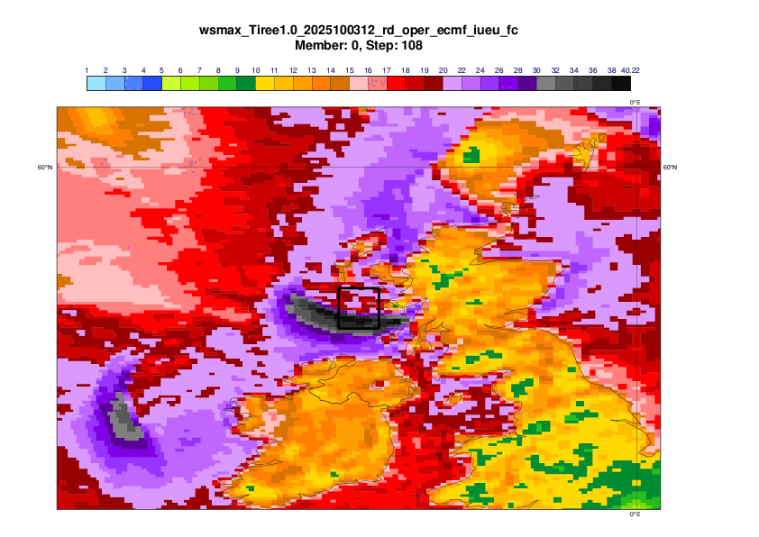
AIFS-single (AIFSv1.0 ~0.25 resolution)
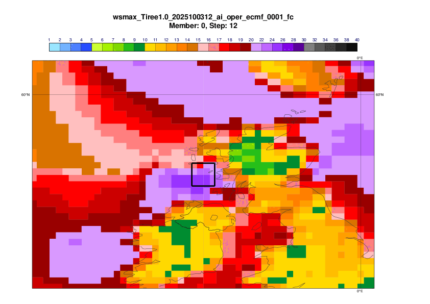
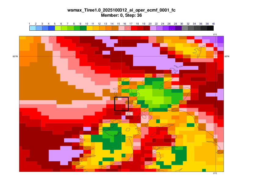
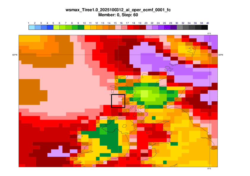
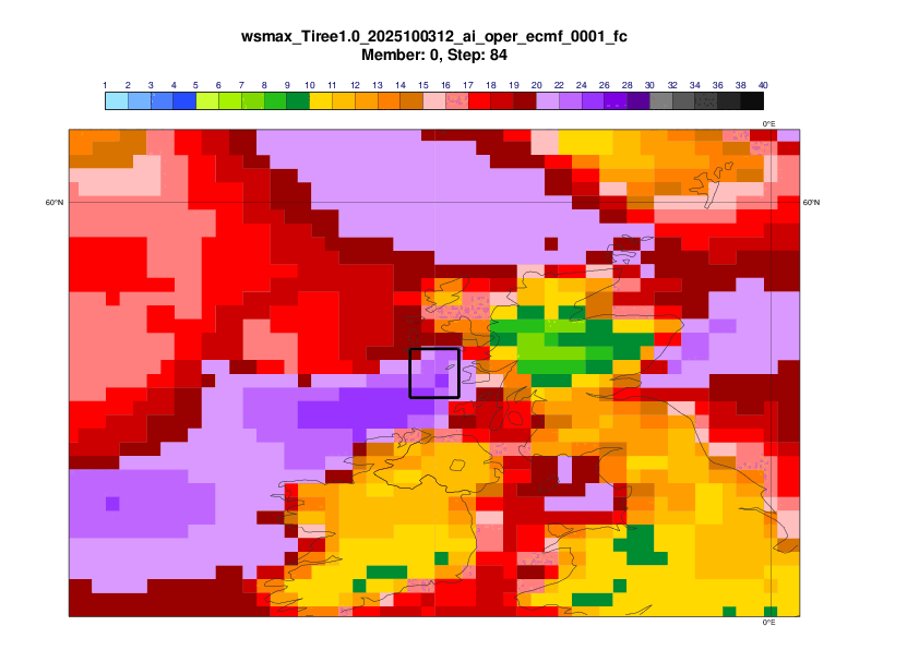
AIFS-CRPS ensemble (~0.25 degree resolution)
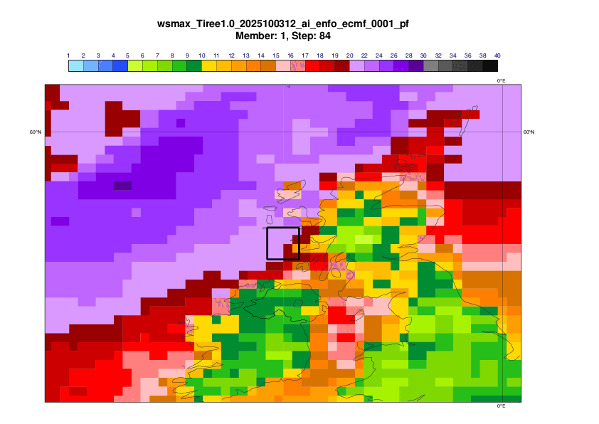
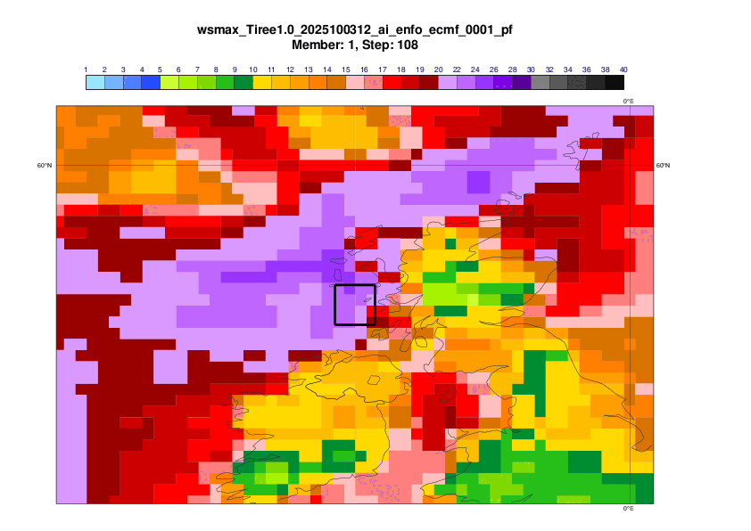
EFI (based on IFS 9-km ensemble)
Forecast Evolution plot
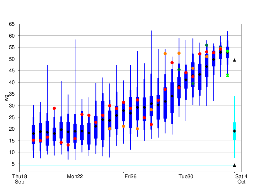
The plot below shows the evolution of 24-hour maximum mean wind in a 1x1 degree box centred on Tiree (see plots above). Note that the observation station on Tiree broke down during the event, so the observed maximum might be underestimated.
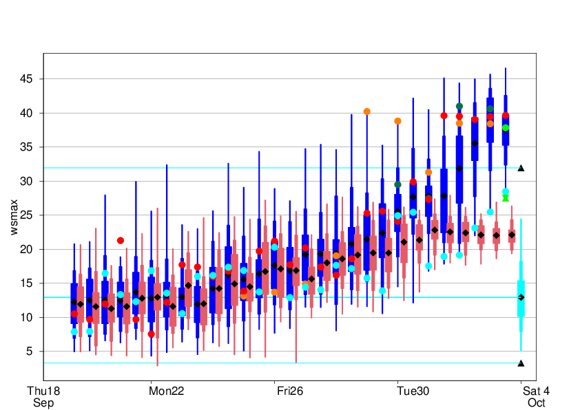
Legend:
Observation - green hourglass
Analysis - green dot
ENS CF - red dot
DestinE 4.4km - evergreen
AIFS-single - cyan dot
Hybrid - orange dot
ENS distribution - blue
AIFS-ENS distribution - pink
ENS m-climate - cyan
ENS m-climate maximum - black triangle
The plot below shows the same as above but for 24-hour maximum wind gusts. (But without AIFS.)
