...
We just have to add 2 axis (1 vertical, 1 horizontal ) to materialise it on the plot. For backward compatibility, we have only one maxis object, the orientation is defined using the parameter axis_orientation.
| Section |
|---|
| Column |
|---|
| | Info |
|---|
|
| Useful subpage parameters |
|---|
subpage_map_projection | | subpage_x_axis_type | | subpage_y_axis_type | | subpage_x_min_latitude | | subpage_x_min_longitude | | subpage_x_max_latitude | | subpage_x_max_longitude | | subpage_y_min | | subpage_y_max |
|
| Code Block |
|---|
| theme | Confluence |
|---|
| language | python |
|---|
| title | Python - Setting a projection |
|---|
| collapse | true |
|---|
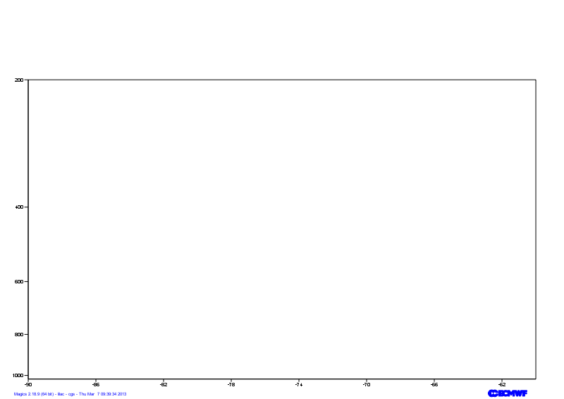
| from Magics.macro import *
#setting the output
output = output(
output_formats = ['png'],
output_name = "xsect_step1",
output_name_first_page_number = "off"
)
# Setting the cartesian view
projection = mmap(
subpage_map_projection='cartesian',
subpage_x_axis_type='geoline',
subpage_y_axis_type='logarithmic',
subpage_x_min_latitude=50.,
subpage_x_max_latitude=30.,
subpage_x_min_longitude=-90.,
subpage_x_max_longitude=-60.,
subpage_y_min=1020.,
subpage_y_max=200.,
)
# Vertical axis
vertical = maxis(
axis_orientation='vertical',
)
# Horizontal axis
horizontal = maxis(
axis_orientation='horizontal',
)
plot(output, projection, horizontal, vertical) |
|
| Column |
|---|
| 
|
|
Adjusting the axis
By specialising the axis, you can improve your axis visualisation.
Have a look at the Axis Documentation to browse the possibilities.
Now, try to improve the readability of the line by specialising the horizontal axis.
| Section |
|---|
| Column |
|---|
| | Info |
|---|
|
| Useful axis parameters |
|---|
subpage_map_projection | | subpage_x_axis_type | | subpage_y_axis_type | | subpage_x_min_latitude | | subpage_x_min_longitude | | subpage_x_max_latitude | | subpage_x_max_longitude | | subpage_y_min | | subpage_y_max |
|
| Code Block |
|---|
| theme | Confluence |
|---|
| language | python |
|---|
| title | Python - Setting a projection |
|---|
| collapse | true |
|---|
| from Magics.macro import *
#setting the output
output = output(
output_formats = ['png'],
output_name = "xsect_step2",
output_name_first_page_number = "off"
)
# Setting the cartesian view
projection = mmap(
subpage_map_projection='cartesian',
subpage_x_axis_type='geoline',
subpage_y_axis_type='logarithmic',
subpage_x_min_latitude=50.,
subpage_x_max_latitude=30.,
subpage_x_min_longitude=-90.,
subpage_x_max_longitude=-60.,
subpage_y_min=1020.,
subpage_y_max=200.,
)
# Vertical axis
vertical = maxis(
axis_orientation='vertical',
axis_grid='on',
axis_type='logarithmic',
axis_tick_label_height=0.4,
axis_tick_label_colour='charcoal',
axis_grid_colour='charcoal',
axis_grid_thickness=1,
axis_grid_reference_line_style='solid',
axis_grid_reference_thickness=1,
axis_grid_line_style='dash',
axis_title='on',
axis_title_text='Pressure',
axis_title_height=0.6,
)
# Horizontal axis
horizontal = maxis(
axis_orientation='horizontal',
axis_type='geoline',
axis_tick_label_height=0.4,
axis_tick_label_colour='charcoal',
axis_grid='on',
axis_grid_colour='charcoal',
axis_grid_thickness=1,
axis_grid_line_style='dash',
)
plot(output, projection, horizontal, vertical) |
|
| Column |
|---|
| 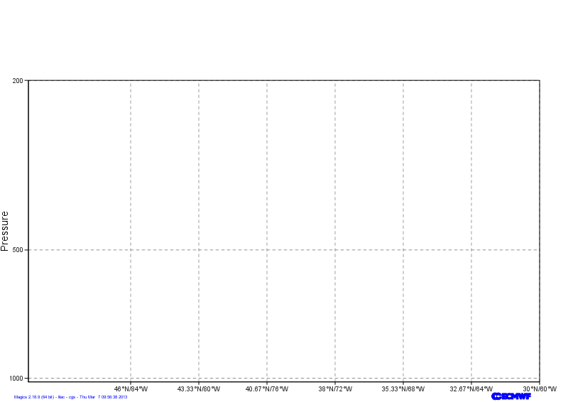 Image Added Image Added
|
|
Go to the next step...
...