...
The following zonal regions are used for large-scale evaluation of forecast performance:
| Region Name | Latitude Range | Colour (Map) |
|---|---|---|
| Tropics | 30°N – 30°S | Slate Gray |
| Northern Hemisphere Extratropics ( |
| NHem ExTro.) | 60°N – 30°N | Medium Aquamarine |
| Southern Hemisphere Extratropics ( |
| SHem ExTro.) | 30°S – 60°S | Steel Blue |
| Northern Polar Region ( |
| NHem Pol.) | 90°N – 60°N | Blue Violet |
| Southern Polar Region ( |
| Shem Pol.) | 60°S – 90°S | Purple |
Figure 1: Zonal areas used to evaluate forecast skill.
Continental Regions
For more localized assessments, continental-scale regions are defined as follows:
| Region Name | Northern Boundary | Southern Boundary | Western Boundary | Eastern Boundary | Colour (Map) |
|---|---|---|---|---|---|
| North America (N. Amer) | 72°N | 15°N | 170°W | 50°W | Charcoal Gray |
| South America (S. Amer) | 15°N | 60°S | 85°W | 35°W | Medium Aquamarine |
| Europe | 72°N | 35°N | 25°W | 40°E | Steel Blue |
| Africa | 35°N | 35°S | 20°W | 55°E | Dark Blue |
| Asia | 80°N | 5°N | 40°E | 180°E | Blue Violet |
| Oceania | 5°N | 50°S | 90°E | 180°E | Purple |
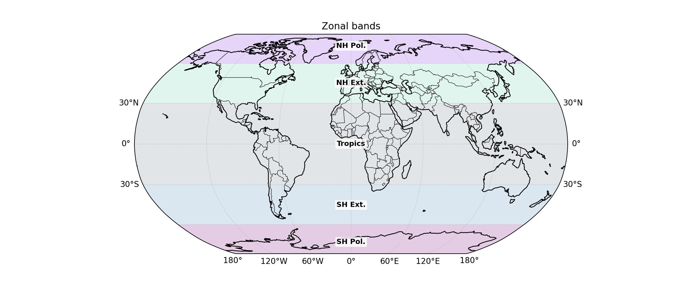
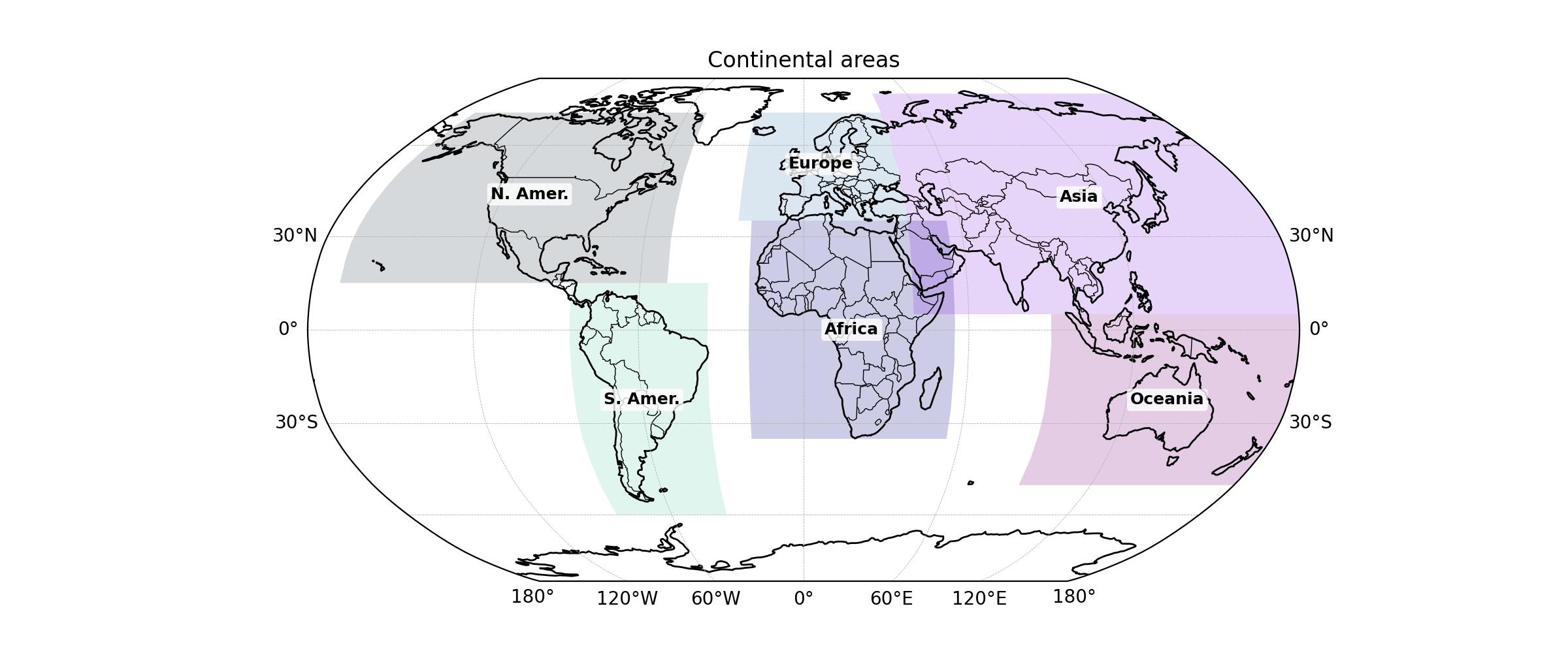
Figures 1 and Figure 2: Zonal and continental Continental areas used to evaluate forecast skill.
...