
![]()
Introduction to Aeolus
Aeolus is the fifth planned satellite in the Living Planet Programme of the European Space Agency. The mission's objective is to provide profiles of high-quality wind observations from the surface to around 30 km altitude, using a Doppler wind lidar (DWL) instrument (known as ALADIN) in a near-polar sun-synchronous, dawn-dusk orbit (320 km altitude). The wind information is the horizontal line-of-sight (HLOS) component, in the direction perpendicular to the satellite's velocity. The mission is intended to have a minimum lifetime of three years.
ECMWF is contracted by ESA to develop, in collaboration with KNMI, the Aeolus Level 2B/C processing software i.e. the wind retrieval. The L2B wind retrieval algorithms have also been developed in the past in collaboration with Météo-France, DLR and LMD/IPSL. ECMWF will also generate the L2B products operationally and in NRT at ECMWF, and disseminate the products to ESA for further distribution. ECMWF intend to assimilate the Aeolus L2B wind observations in ECMWF's global NWP (Numerical Weather Prediction) model if it is demonstrated to improve forecast skill. Since ALADIN is a High Spectral Resolution Lidar; then it is also possible to derive information useful for atmospheric composition modelling. Aeolus will also provide information on the atmosphere's cloud and aerosol optical properties (backscatter and extinction coefficients, via the Level-2A product). ECMWF has contributed to ESA funded observation impact studies to assess the potential impact of the Aeolus data in the past. We expect the Aeolus mission to have a positive impact on analysis and forecast quality, in particular the improvement of winds in the tropics.
More information is available at ESA's website.
An introductory presentation on Aeolus L2B winds: Aeolus_L2B_winds.pptx
Aeolus is expected to be launched in late January 2018; this website provides a log of progress on the satellite: https://aeolusweb.wordpress.com/
A CAL/VAL rehearsal workshop took place in March 2017, the presentations can be found via this web page: http://www.aeolus-calval-2017.org/
The L2B processing software
ECMWF and KNMI develop the Aeolus Level-2B wind retrieval software which produces HLOS winds, which are suitable for use in NWP and meteorological research. The algorithms are described in Tan et al. (Tellus, A, 2008, 60, 2, 191-205), however note that there have been many modifications to the software since the reference was written (the Algorithm Theoretical Baseline document is up-to-date; see the documentation link below).
Downloading the L2B processing software
- The Aeolus Level-2B/C processing documentation v2.30 (including the Software Release Note, the Algorithm Theoretical Baseline and the Input/Output Data Definitions Interface Control documents) and associated datasets (needed to test the success of the installation) is available for download: Download Aeolus L2B/C documentation
- The source code (v2.30) can be downloaded for free from from our website (upon acceptance of the licence terms): Download Aeolus L2B processor package
- News on updates to the software, e.g. new deliveries, will be provided here
- Technical Notes prepared for ESA regarding the L2B/C processing are available here (which might be useful to help understand the L2B products)
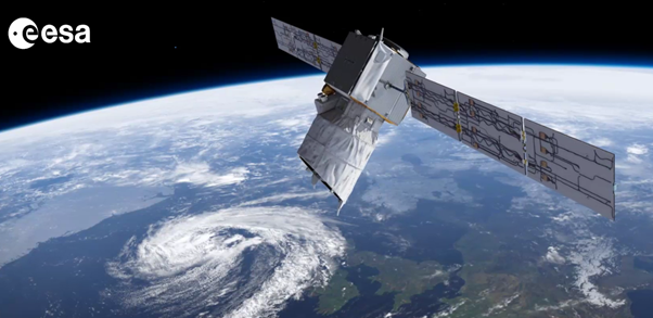
An artist's impression of the Aeolus satellite in orbit (courtesy of ESA).

An example of Aeolus L2B Rayleigh-clear wind observations, generated by running the real Ground Segment processing chain (i.e. L0/L1A/L1B/L2B processing) from reaslistically simulated satellite telemetry data (via the E2S simulator)