| Name
|
Size
|
Creator |
Creation Date
|
Last Modification Date
|
Labels |
Attached To |
|
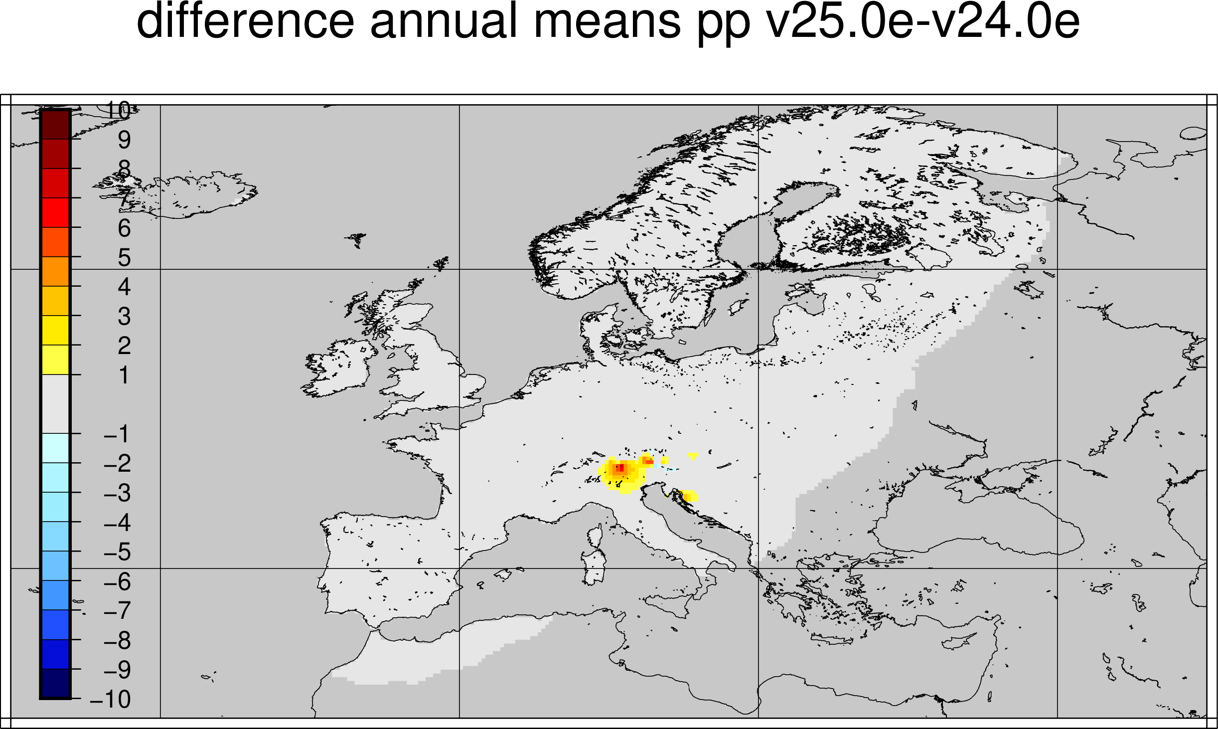
PNG File pp_0.25deg_diff_yearmeans_19912020_v25.0e-v24.0e.p… |
267 kB |
Michela Giusti |
Jul 11, 2022 07:56 |
Jul 11, 2022 07:56 |
|
Page: E-OBS daily gridded observations for Europe from 1950 to present: Product user guide
|
|
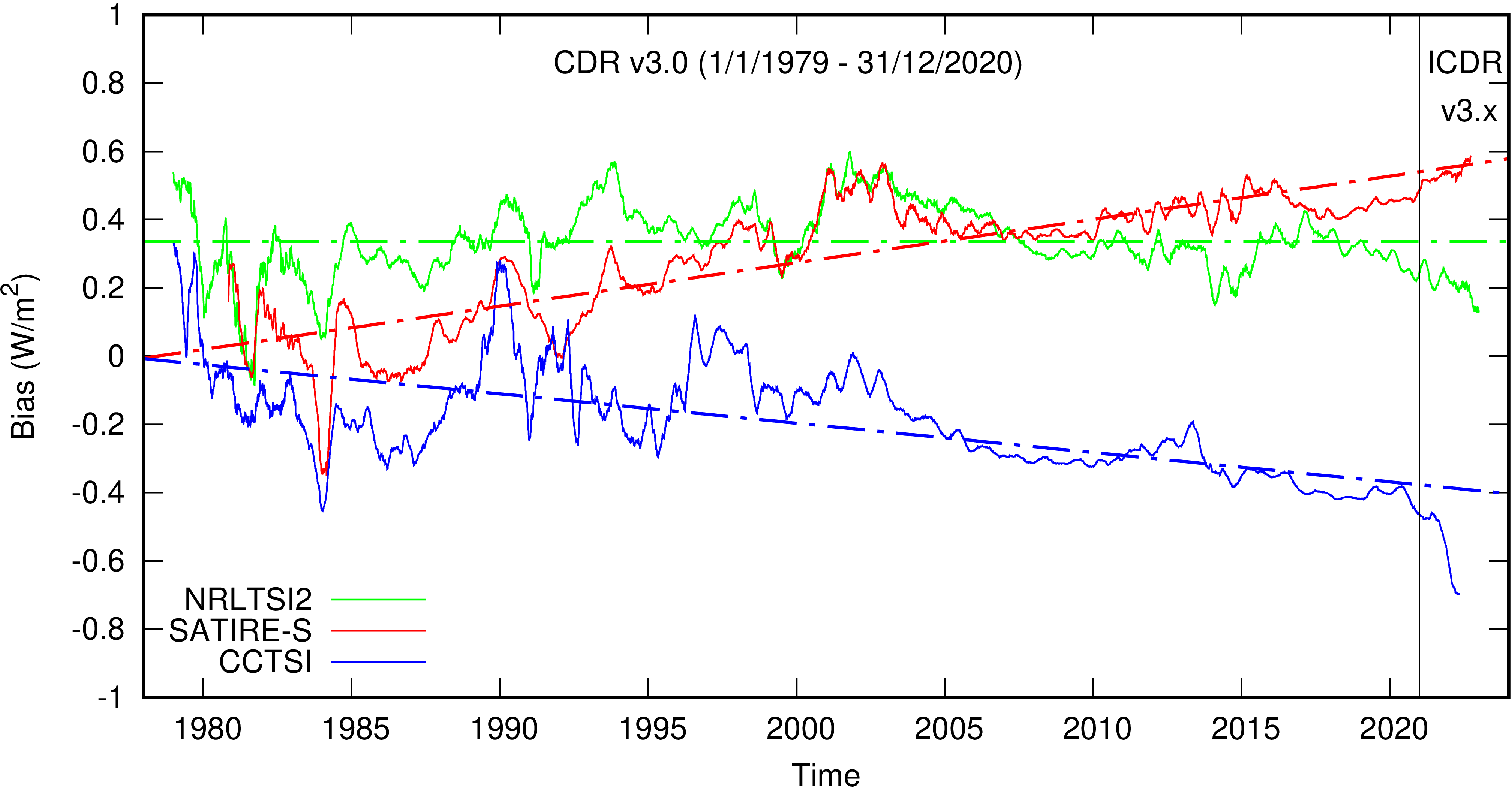
PNG File image-2024-1-26_12-9-30.png |
266 kB |
Michela Giusti |
Jan 29, 2024 14:31 |
Jan 29, 2024 14:31 |
|
Page: ERB TSI: Product Quality Assessment Report (PQAR)
|
|
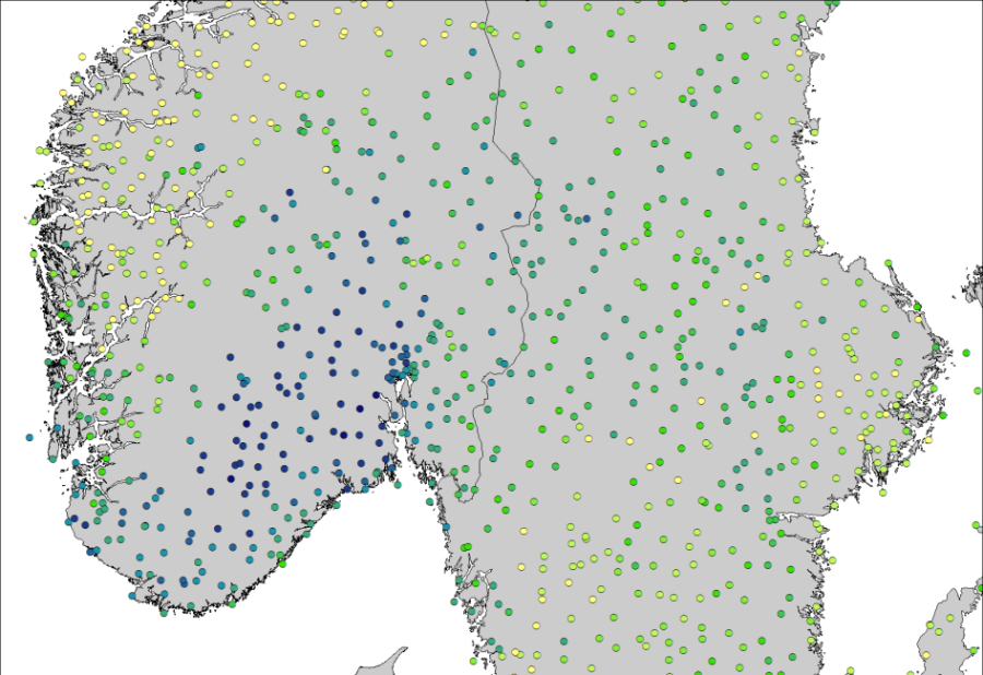
PNG File worddavfb2cad548774c73ac826066c45f63506.png |
266 kB |
Michela Giusti |
Jun 28, 2022 12:48 |
Jun 28, 2022 12:48 |
|
Page: Nordic Gridded Climate Dataset (NGCD): Algorithm Theoretical Basis Document (ATBD)
|
|
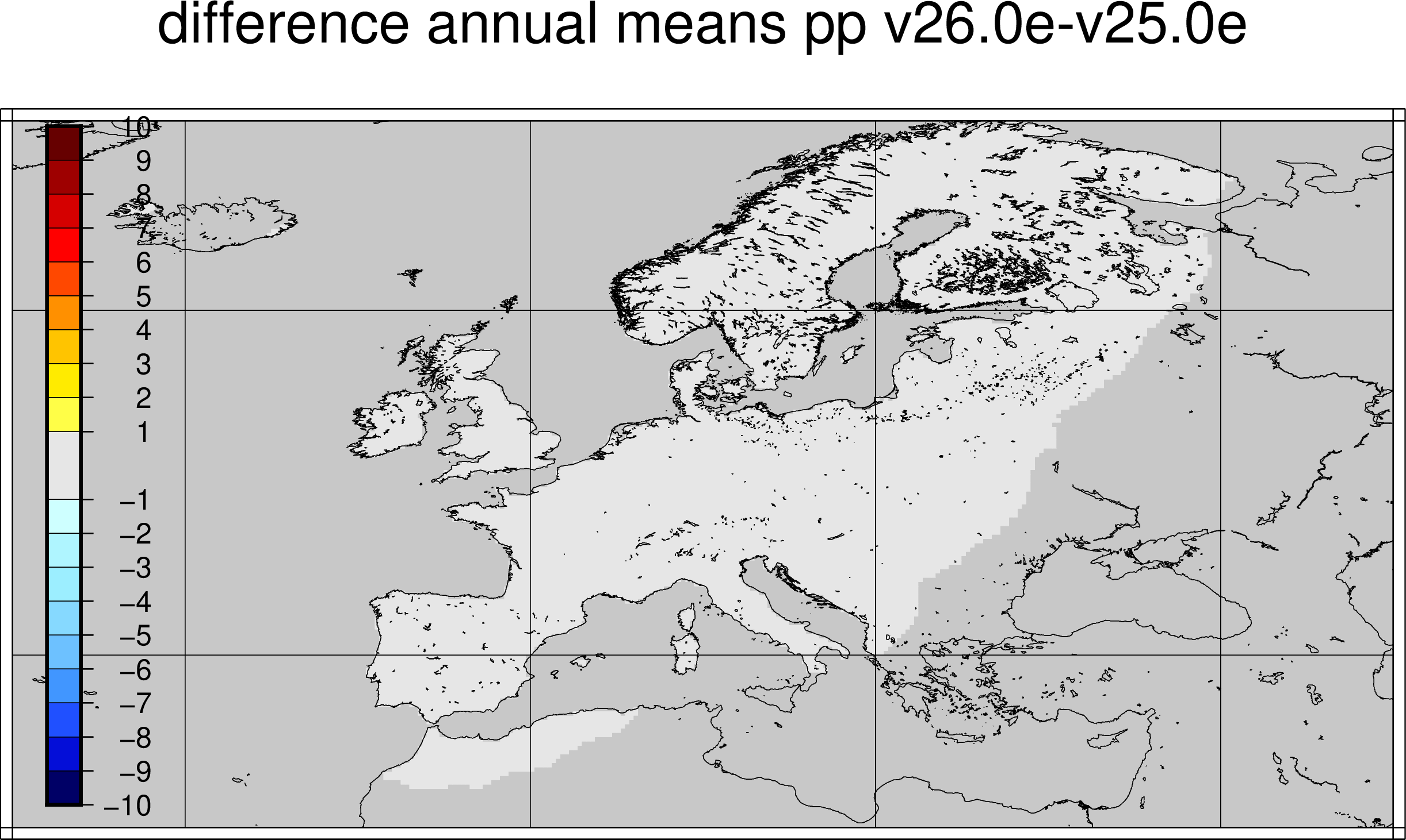
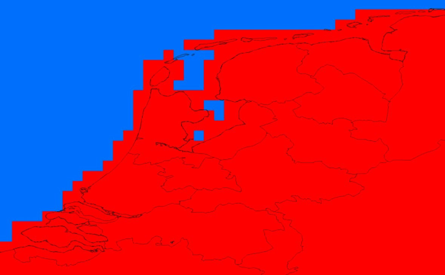
PNG File pp_0.25deg_diff_yearmeans_19912020_v26.0e-v25.0e.p… |
266 kB |
Michela Giusti |
Oct 24, 2022 11:15 |
Oct 24, 2022 11:15 |
|
Page: E-OBS daily gridded observations for Europe from 1950 to present: Product user guide
|
|
PNG File figure1-pugs-lswt.png |
266 kB |
Michela Giusti |
Sept 04, 2023 16:39 |
Sept 04, 2023 16:39 |
|
Page: LSWT v4.5: Product User Guide and Specification (PUGS)
|
|
PNG File antarctica_iv_200m_s1_s20210401_e20220331_v1_maske… |
266 kB |
Michela Giusti |
May 20, 2024 11:57 |
May 20, 2024 11:57 |
|
Page: IV data version 1.5: Product Quality Assessment Report (PQAR)
|
|
PNG File pugs_table3a.png |
265 kB |
Michela Giusti |
Jun 07, 2024 14:11 |
Jun 07, 2024 14:11 |
|
Page: Glacier Area data version 7.0: Product User Guide and Specification (PUGS)
|
|
PNG File figure4.png |
265 kB |
Michela Giusti |
Nov 28, 2023 17:03 |
Nov 28, 2023 17:03 |
|
Page: Glacier Area data version 5.0 and 6.0: Product User Guide and Specification (PUGS)
|
|
PNG File figure4.png |
265 kB |
Michela Giusti |
Jun 07, 2024 14:11 |
Jun 07, 2024 14:11 |
|
Page: Glacier Area data version 7.0: Product User Guide and Specification (PUGS)
|
|
PNG File image-2024-1-26_15-9-44.png |
265 kB |
Michela Giusti |
Jan 29, 2024 14:20 |
Jan 29, 2024 14:20 |
|
Page: ERB TSI: Algorithm Theoretical Basis Document (ATBD)
|
|
PNG File worddavb835936387e767b6b12ca376726607c8.png |
264 kB |
Michela Giusti |
Dec 01, 2023 17:11 |
Dec 01, 2023 17:11 |
|
Page: SM v202212: Product Quality Assessment Report (PQAR)
|
|
PNG File hu_0.25deg_diff_yearmeans_19912020_v26.0e-v25.0e.p… |
264 kB |
Michela Giusti |
Oct 24, 2022 11:15 |
Oct 24, 2022 11:15 |
|
Page: E-OBS daily gridded observations for Europe from 1950 to present: Product user guide
|
|
PNG File worddave617ab065ffd4aded81081d0a6a778e3.png |
264 kB |
Michela Giusti |
Mar 18, 2024 14:51 |
Mar 18, 2024 14:51 |
|
Page: SM v201812: Product Quality Assessment Report (PQAR)
|
|
PNG File worddavdd28d8d8ed5227feadb13177d1dadfe0.png |
264 kB |
Michela Giusti |
Jul 11, 2023 12:41 |
Jul 11, 2023 12:41 |
|
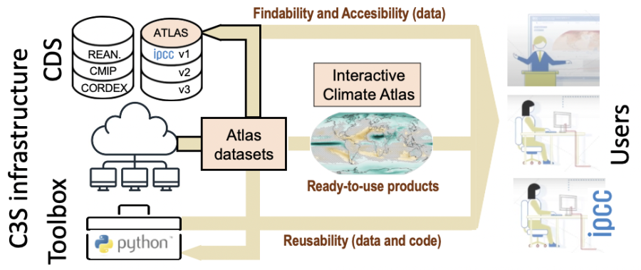
Page: Consolidation of the IPCC Interactive Atlas Dataset in the CDS
|
|
PNG File worddavd232c244b204d8cccf3b01a9be17c9d0.png |
264 kB |
Michela Giusti |
Feb 16, 2024 11:34 |
Feb 16, 2024 11:34 |
|
Page: Gridded data underpinning the Copernicus Interactive Climate Atlas: Description of the datasets and variables
|
|
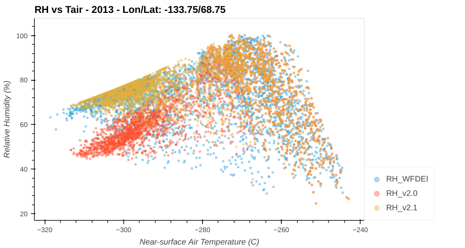
PNG File RH_T.png |
263 kB |
Michela Giusti |
Jun 22, 2022 10:16 |
Jun 22, 2022 10:16 |
|
Page: Near surface meteorological variables from 1979 to 2019 derived from bias-corrected reanalysis (WFDE5): Product User Guide
|
|
PNG File worddav13b8b8ccbac85be667a9af92cab69ce8.png |
262 kB |
Michela Giusti |
Mar 14, 2023 12:42 |
Mar 14, 2023 12:42 |
|
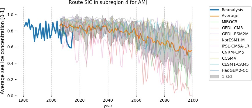
Page: Arctic route availability and cost projection derived from climate projections of ice concentration and thickness: background information
|
|
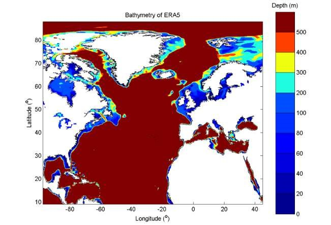
PNG File worddav44c24c15194420fbab1b07fefb29a926.png |
262 kB |
Michela Giusti |
Jul 01, 2022 14:40 |
Jul 01, 2022 14:40 |
|
Page: Data Stream 2: AgERA5 historic and near real time forcing data: Algorithm Theoretical Basis (ATBD)
|
|
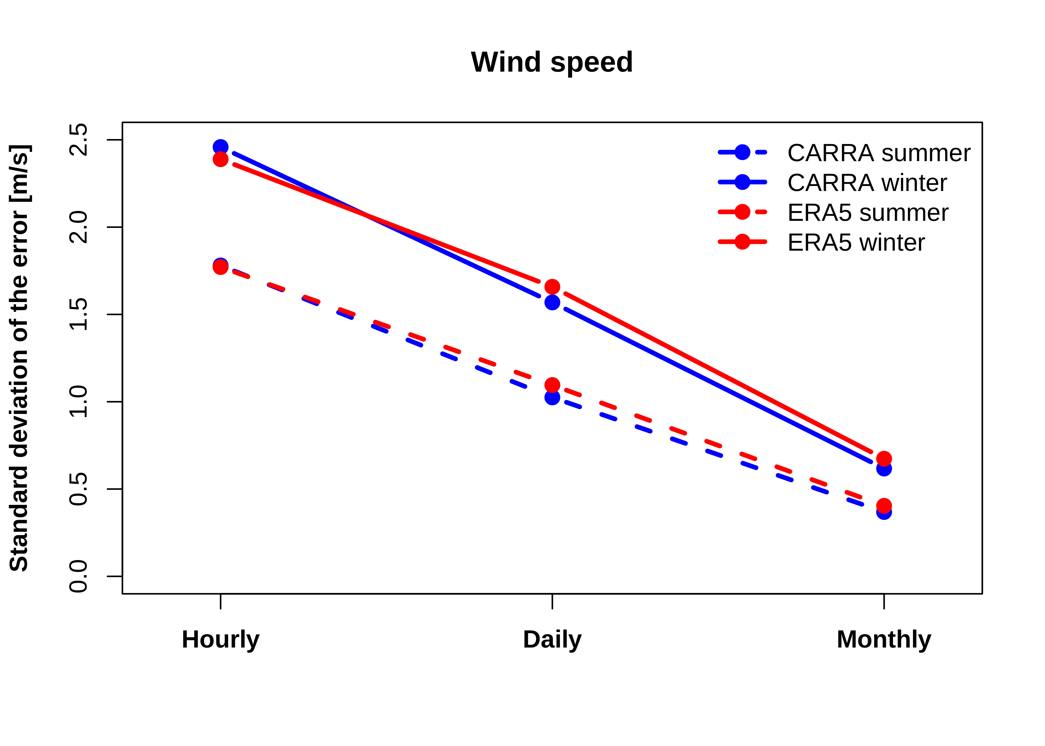
PNG File windspeed.timescale.sd.png |
262 kB |
Michela Giusti |
Oct 14, 2022 17:08 |
Oct 14, 2022 17:08 |
|
Page: Copernicus Arctic Regional Reanalysis (CARRA): Added value to the ERA5 global reanalysis
|
|
PNG File worddav3201960b0c2ae93f4575660805090258.png |
262 kB |
Michela Giusti |
Aug 12, 2022 15:59 |
Aug 12, 2022 15:59 |
|
Page: Product user guide for sea level and ocean wave products - time series and indicators
|