-
Created by
 Karen O'Regan, last updated by Juan Pereira Colonese on Mar 30, 2026
9 minute read
Karen O'Regan, last updated by Juan Pereira Colonese on Mar 30, 2026
9 minute read

Note on ftp service
Users are reminded that the best way to obtain CEMS-Flood data is through the self-service functionalities of the Data Store (see EWDS). FTP is suggested only for time-critical operational use and can be subject to change.
EFAS
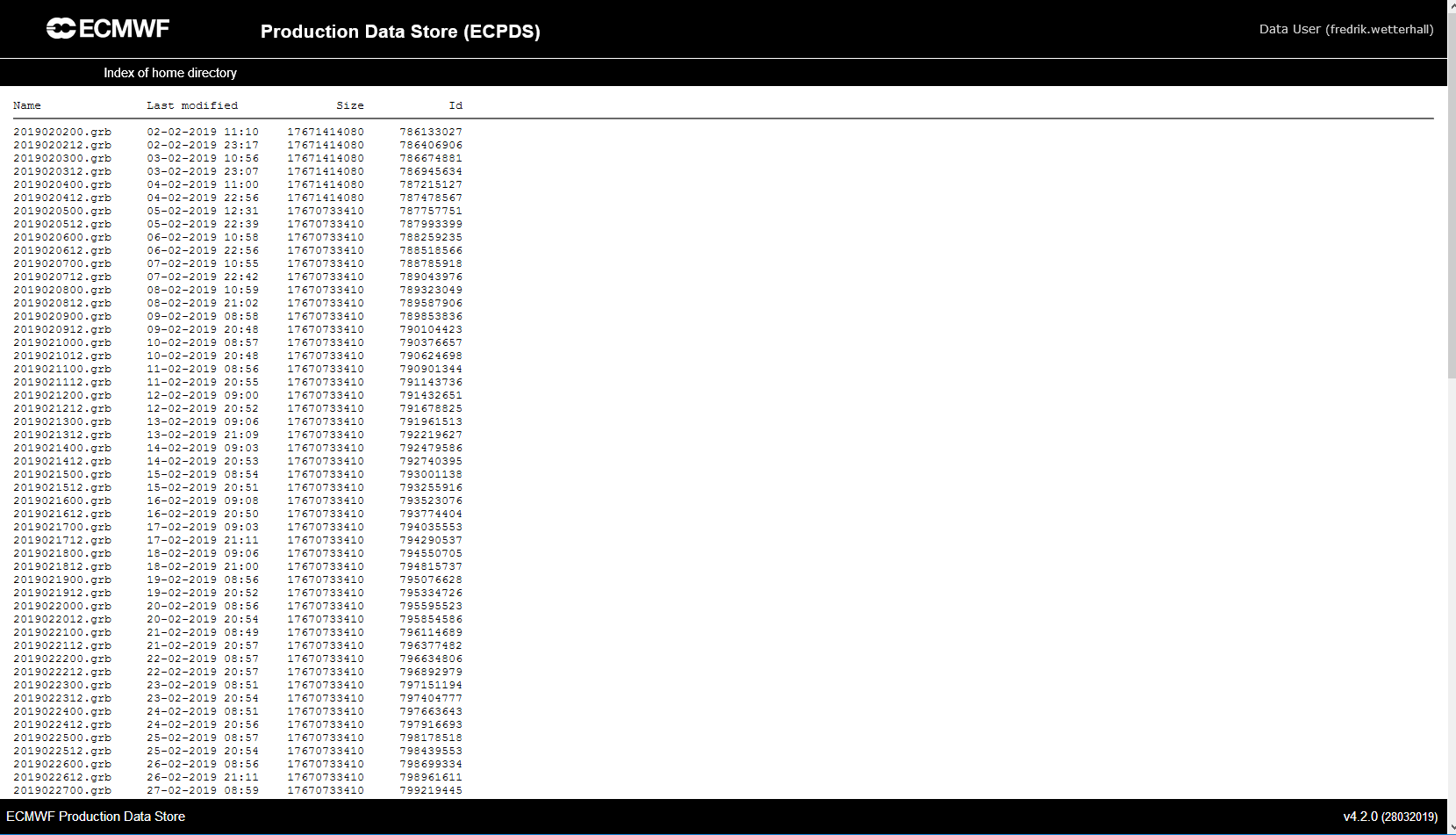
Registered EFAS users with access to EFAS real-time information can access real-time EFAS hydrological forecasts through the ECMWF Production Data Store (ECPDS). The data (hydrological time series for each ensemble member for the entire EFAS domain) is stored as one grib file per forecast with the naming convention of efas_foreacstdate.grb / efas_YYYYMMDDTT.grb, for example, "efas_2019040300.grb" for forecast produced the 3rd of April 2019 using 00UTC meteorological forecast forcing. All forecast time steps (i.e. from day one to day 10) are within the same file for easier access. The data is kept on the server for 30 days from the day it was produced. For later dates, please refer to the EWDS.
The data is restricted to authorised EFAS users and is password protected. User ID is the first part of your email before the '@' address; your password will be provided by email after registration to the service. To subscribe, please log a request using the ECMWF Support Portal. (Documentation on how to log a request is here).
ECPDS User Documentation
Before accessing the data, it is recommended that you read the related documentation: ECMWF Production Data Store (ECPDS)
Sign up for the ECPDS service
The credentials used to access the EFAS Web Map viewer and maps via the WMS-T service are not valid for the data dissemination service. Please sign up using the ECMWF Support Portal.
Tailored point extraction data
Access to real-time LISFLOOD river discharge and post-processed forecasts from EFAS is possible through a dedicated ftp service, upon user request. Data is provided as point time series in netCDF format.
A request for a new stream or feedback on the service can be made by logging a request using the ECMWF Support Portal. The team endeavours to respond to all requests as soon as possible within 15 working days. Please provide the following information when sending a request for data:
- Requesting data for stations already shown on EFAS Web Map Viewer as static reporting points:
- Station ID(s) as shown in the reporting point overview table
- Other locations within the model drainage network
- A name identifier for the location;
- River name;
- Point real pair of coordinates latitude(s)/longitude(s);
- Point pair of coordinates on model drainage network;
- If known, location upstream area(s) (optional).
Due to model uncertainty and resolution, It is recommended that only river sections with upstream area larger than 150 km2 should be considered for forecast extraction.
A data delivery stream will be set up for the user and access will be possible in the same way as described above for forecasts on the full domain.
Browsing the data
From 12 UTC Tuesday 18th October 2022, the data will no longer be available from 'dissemination.ecmwf.int'. Instead, please use aux.ecmwf.int
- https://aux.ecmwf.int/
- sftp <userid>@aux.ecmwf.int
- ftp aux.ecmwf.int
After logging in, available data is shown as a list of files in the browser. The data is split into the file with all the forecasts, including simulations forced with observations ("SFO" grip key), in one file ("efas_YYYYMMDDHH.grb").
Automatic download is done by clicking on a file name. As each file is large, due to the amount of archived information it contains, downloads can be slow. Once downloaded, access to the data can be made directly from the GRIB file, or after conversion to netCDF. The recommended way to manipulate the data in either format is using python library xarray (with cfgrib extension for support to grib files).
Automatic data transfer
In addition to manual download, an automatic data transfer is also possible, where data is sent to the service subscriber as soon as it is available. If you are interested in such a service, please log a request using the ECMWF Support Portal.
GloFAS
GloFAS users can access real-time hydrological forecasts through the ECMWF Production Data Store (ECPDS). The data (2D grid hydrological time series for each ensemble member for the Global domain) is stored in netcdf and grib formats with a specific naming convention described below for each type. All forecast time steps (i.e. from day one to day 10) are within the same file for easier access. The data is kept on the server for 15 days from the day it was produced. For later dates, please refer to the EWDS.
Access is password protected which is provided upon request. To subscribe, please log a request using the ECMWF Support Portal. (Documentation on how to log a request is here).
A request for real-time forecasts or any other inquiry and feedback on the service can be made by logging a request using the ECMWF Support Portal. The team endeavours to respond to all requests as soon as possible within 15 working days.
If time-critical subsets of data, as point or area extracts, area needed, please provide the following information when sending a request:
- Requesting data for stations already shown on GloFAS Web Map Viewer as static reporting points:
- Station ID(s) as shown in the reporting point overview table
- Requesting other point locations within the model drainage network
- Point coordinates on the model drainage network (latitude(s)/longitude(s));
- A name identifier for the location (optional);
- River name (optional);
- Point coordinates of the actual location (latitude(s)/longitude(s)) (optional);
- Point upstream area(s) (optional).
- Requesting data for areas:
- Latitudes/longitudes of the bounding box region
- Maximum leadtime of interest.
Users are reminded that the best way to obtain CEMS-Flood data through the self-service functionalities of the Data Store (see EWDS). The FTP service is suggested only for time-critical operational use and can be subject to change. In addition to this, users are encouraged to request data subsets (points or certain timesteps) also through EWDS, as it offers customisable data retrievals. Alternatively, the FTP downloaded 2D global grids (or potentially the requested area extracts) can offer the users the customisable way of extracting points (or areas from the global data sets).
Availability of Real-time GloFAS forecast data
The FTP folder contains the forecasted discharge of the GloFAS operational system, where members are numbered as 00 to 50, with member 00 representing the Control Forecast member:
/fc_netcdf/<YYYYMMDD>/dis_<MEMBER>_<YYYYMMDDHH>.nc
There is also a combined file (with all the members) named":
/fc_netcdf/<YYYYMMDD>/dis_<YYYYMMDDHH>.nc
Availability of GloFAS initial conditions
Discharge initial conditions used for every issued forecast are available in a directory named “wb_netcdf”. To find the exact one for a particular forecast base date, YMD, the file structure will be, depending on the type of meteorological forcing:
- If the discharge was obtained from a simulation using ECMWF reanalysis as meteorological forcing, known as “water balance”:
wb_netcdf/{YMD}/GWB{YMD}
- If the discharge was obtained from a simulation using ECMWF NWP deterministic model forecast as meteorological forcing, known as “fillup forecast”:
wb_netcdf/{YMD}/GWB{YMD}ENSCF
Availability of GloFAS test and legacy Data
Prior to a new release of GloFAS Forecast, we will provide a means for users to test their workflows by providing a duplicated data stream available on the FTP Service. This data stream will mirror the existing data stream and will be stored on the FTP under the version number of the GloFAS release. All files will use an identical folder structure to the previous release.
e.g.
for_ABC ← Production Data
X.Y/for_ABC ← Test Data
As part of the release of a new forecast, we may continue to run the previous forecast cycle as a legacy suite. This suite would no longer be considered operational and would likely be discontinued after a few months. Data will be stored in a similar way to the new test data, using the version of the previous release.
e.g.
for_ABC ← Production Data
3.1/for_ABC ← Legacy Data
3.1/fc_netcdf ← Legacy Data
Detailed GloFAS data catalogue
Product name | Server location | File name convention | Content description |
|---|---|---|---|
Medium-range forecasts | |||
discharge initial conditions in NetCDF format | wb_netcdf/{YMD} | GWB{date}/dis.nc GWB{date}ENSCF/dis.nc | discharge output from 1-step LISFLOOD simulation forced with meteorological reanalysis in netCDF format. discharge output from 1-step LISFLOOD simulation forced with deterministic NWP model in netCDF format. |
discharge initial conditions in GRIB format | wb_grib/{YMD} | wb_{date}.grib fu_{date}.grib | discharge output from 1-step LISFLOOD simulation forced with meteorological reanalysis in GRIB format. discharge output from 1-step LISFLOOD simulation forced with deterministic NWP model in GRIB format. |
discharge ensemble forecast in NetCDF format | fc_netcdf/{YMD} | dis_{member}_{YMD}00.nc | discharge output from 30-step LISFLOOD simulation forced with ensemble NWP model in netCDF format. |
discharge ensemble forecast in GRIB format | fc_grib/{YMD} | dis_{YMD}00.grib | discharge output from 30-step LISFLOOD simulation forced with ensemble NWP model. One file contains all ensemble simulations in GRIB format. |
Medium-range products | |||
summary alerts for 1-3, 4-10, 11-30 step ranges in NetCDF format | prodgen/{YMD} | summary_alerts_{step-range}_{date}.nc | Alert codes based on the maximum exceedance probability within a forecast step range for each cell. The values are digit codes ranging from 5 to 16 meaning increasing risk (low, medium and high probability) for each hazard level (1.5, 2, 5 and 20-yr return period) in netCDF format. For example, 8-10 will mean increasing probability for 2-year flood in the actual forecast period. |
| maximum alerts for medium, high and extreme levels in NetCDF format | prodgen/{YMD} | sumAL_{level}_{date}.nc | Maximum exceedance per hazard level as count of ensemble members above threshold in netCDF format. |
Dynamic and Static reporting points information as text table. | prodgen/{YMD} | threspoints[Dyn]_{date}.txt | Information on static and dynamic reporting points as comma-separated text table. Each row holds information for a point with extra feature information, as follows: Row number, GloFAS station id, Basin, River, Station Name, Country, Continent, Country 3-letter code, X coordinate, Y coordinate, Discharge tendency, forecasted peak step, 2-yr maximum exceedance probability, 5-yr maximum exceedance probability, 20-yr maximum exceedance probability, reporting point category. Missing information is denoted by either '-' or -9999. For further details of any of the fields, please refer to CEMS-Flood products wiki pages. |
Dynamic and Static reporting points information in ESRI Shapefile format. | prodgen/{YMD} | RPG_U{date}.shp[dbf,prj,qix,shx] | Information on static and dynamic reporting points. Each point Feature holds information for: GloFAS station id, Basin, River, Station Name, Country, Continent, Country 3-letter code, X coordinate, Y coordinate, Discharge tendency, forecasted peak step, 2-yr maximum exceedance probability, 5-yr maximum exceedance probability, 20-yr maximum exceedance probability, reporting point category. Missing information is denoted by either 'NA' or -9999. For further details of any of the fields, please refer to CEMS-Flood products wiki pages. |
Rapid Flood Mapping in ESRI shapefile format | prodgen/{YMD} | FloodMaskMerged{date}.shp[shx,qix,prj,dbf,cpg] | Rapid Flood Mapping produced without consideration of flood defences in ESRI shapefile format. |
Rapid Impact Assessment in ESRI shapefile format | prodgen/{YMD} | CostPopEst{date}.shp[shx,prj,dbf,cpg] | Rapid Impact Assessment in ESRI shapefile format. |
Step of the maximum forecasted discharge above the 2-yr return period, as considered by the Rapid Impact Assessment. | prodgen/{YMD} | Step of the maximum forecasted discharge above the 2-yr return period, as considered by the Rapid Impact Assessment in netCDF format. | |
| Point extraction result per user request. Package includes, at each point location: | for_{userIndentification} | glofas_pointdata_{dest}_{date}.tar.gz
| Package includes, at each point location:
The data is delivered in both NetCDF format and in two text files. |
| Area extraction result per user request. | for_{userIndentification} | glofas_areagrid_{dest}_in_{area}_{date}.nc |
|
| Seasonal forecasts | |||
| seasonal discharge ensemble forecast in NetCDF format | seasonal_fc_netcdf/{YM}01/ | dis_{ym}0100_{member}.nc | discharge output from 215-step LISFLOOD simulation forced with ensemble NWP model in netCDF format. |
| seasonal discharge ensemble forecast in GRIB format | seasonal_fc_grib/{YM}01/ | dis_{ym}0100_{member}.grib | discharge output from 215-step LISFLOOD simulation forced with ensemble NWP model in GRIB format. |
| seasonal discharge weekly means of ensemble forecast in NetCDF format | seasonal_fc_weekly_means/netcdf/{YM}01/ | waverdow_{YM}01_w{week}.nc | discharge output from LISFLOOD simulation forced with ensemble NWP model aggregated at weekly step in netCDF format. |
| seasonal discharge weekly means of the ensemble forecast in GRIB format | seasonal_fc_weekly_means/grib/{YM}01/ | waverdow_{YM}01_w{week}.grib | discharge output from LISFLOOD simulation forced with ensemble NWP model aggregated at weekly step in GRIB format. |
Seasonal products | |||
| Seasonal basins outlook product: Basin-averaged quantile anomaly. More details | seasonal_prodgen/seasonal/{YM}01/ | basins_summary_{step}.shp.zip | Vector geometry file in compressed ESRI Shapefile format, one set per outlook lead time step. |
| Seasonal outlook product: Quantile anomaly ensemble average. More details | seasonal_prodgen/seasonal/{YM}01/ | disM_outlook.nc | Anomaly quantile as integers for each calendar-month in the seasonal outlook lead time in netCDF. |
Sub-seasonal products | |||
| Sub-seasonal outlook product: Quantile anomaly ensemble average. More details | seasonal_prodgen/subseasonal/{YMD}/ | basins_summary_{step}.shp.zip | Vector geometry file in compressed ESRI Shapefile format, one set per outlook lead time step (calendar-week, Monday-Sunday). Only fully covered weeks are considered. Therefore, the total number of steps varies between 5 and 6 by forecast reference date. |
| Sub-seasonal outlook product: Quantile anomaly ensemble average. More details | seasonal_prodgen/subseasonal/{YMD}/ | disW_outlook.nc | Anomaly quantile as integers for each calendar-week (Monday-Sunday) in the sub-seasonal outlook lead time in netCDF. Only fully covered weeks are considered. Therefore, the total number of steps varies between 5 and 6 by forecast reference date. |