...
- A: In 47r3 convection consistently exhibits a smaller areal coverage of wet (precipitating) pixels (as much as 50% less), but with higher peak rates (>2x more). Here we are dealing with marine convection, but this applies also to diurnal convection over land.
- B: In 47r3 precipitation rates tends to have higher peaks on fronts (up to about 2x more). Cold front line convection characteristics can be more apparent.
- C: In 47r3 the areal coverage of frontal (mainly large scale) precipitation is slightly smaller.
- D: The longstanding tendency of marine convection to erroneously stop at coastlines has barely improved is similar in 47r3.
|
|
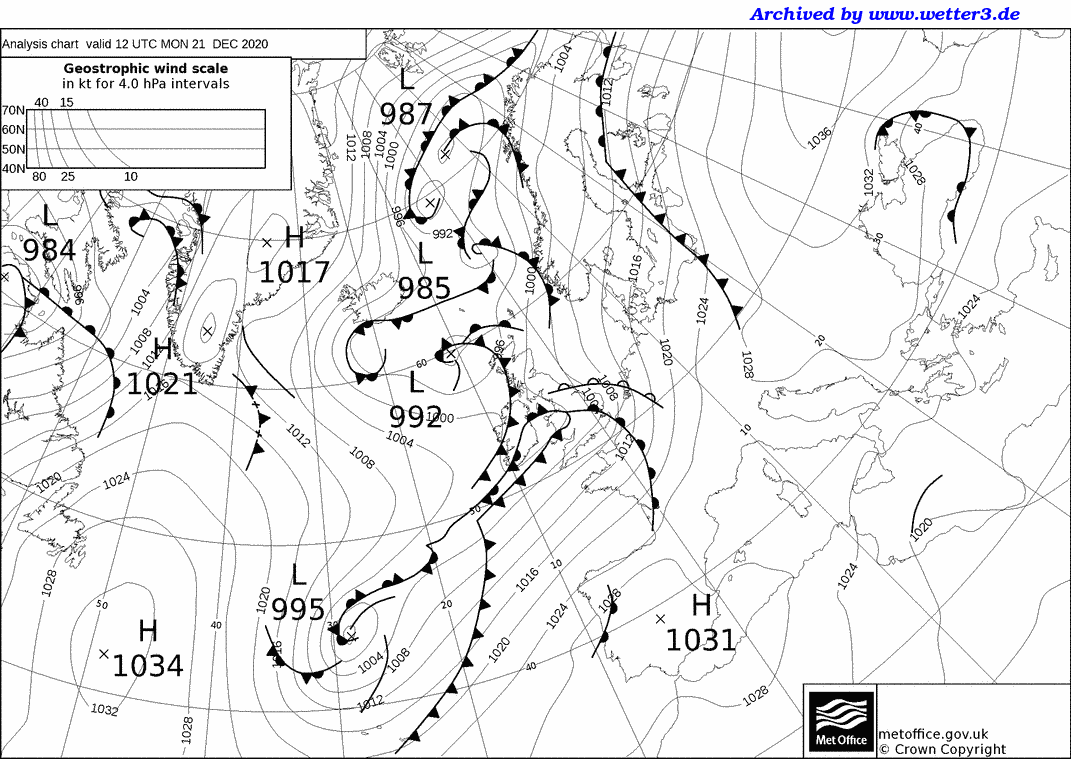

This second case (warm front over France) provides further evidence of aspect C, in common with more spatial fragmentation.
...
These animations compare short range HRES forecasts of low cloud cover at an instant in time (left), and 24h sunshine totals (right), between the old and new cycles, at short lead times. In the majority of regions low cloud cover goes up somewhat slightly and sunshine goes down somewhat slightly in the new cycle.
Please note that the picture for sunshine is not reflected in forecasts of solar radiation at the surface, which in many regions exhibit higher values in 47r3 than in 47r2. This apparent discrepancy relates to subtleties in how one defines cloud cover, due to a reduction in the liquid water path which tended to be too high in 47r2 for shallow convective clouds.
High cloud in particular tends to show more sharply defined edges in 47r3. The example below highlights far more areas of cloud cover >99% (i.e. >0.99), and similarly a much reduced spatial coverage of areas with 50-99% cover. It should be added that the non-opaque nature of high cloud makes defining full cover in a meaningful way rather difficult.
...
The 10m wind gust parametrisation has been changed in two ways in cycle 47r3; the first change reduces somewhat the standard 'turbulent gusts' by 7%, the second change reduces somewhat the convective gust addition by 50% (whenever it is applied). The net result is slightly lower gusts overall, albeit with the size of the impact depending on the situation.
...