...
Cycle 47r3 is more cloudy, generally, than was cycle 47r2. Increases On standard products increases can be seen quite clearly in low cloud, in high cloud and in total cloud cover, around the world. Any systematic changes in medium cloud are not so perceptible on products.
|
|
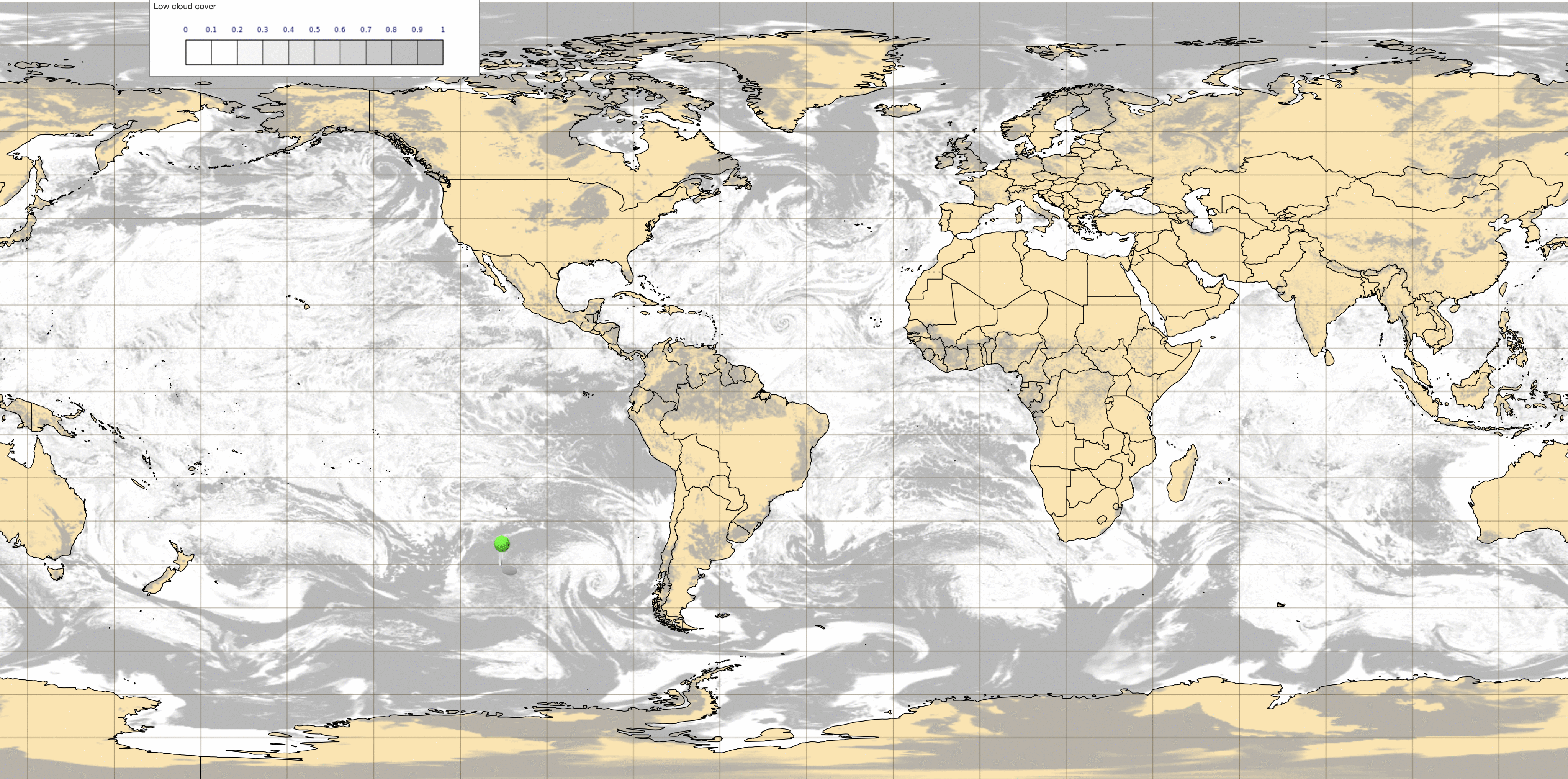

These animations from ecCharts compare short range HRES forecasts of low cloud cover at an instant in time (left), and 24h sunshine totals (right), between the old and new cycles, at short lead times. In the majority of regions one sees that low cloud cover goes up slightly and sunshine goes down slightly in the new cycle.
Please note that the picture for sunshine is not reflected in forecasts of solar radiation at the surface, which in many regions exhibit higher values in 47r3 than in 47r2, due to a reduction in the liquid water path which tended to be too high in 47r2 for shallow convective clouds.
A more systematic long period analysis of cloud cover reveals the following features of 47r3 forecasts (relative to 47r2):
| Type | Tropics (30S - 30N) | Extra Tropics |
|---|---|---|
| Total cloud cover | Mixed picture but more overall (by 3%) | More (by 4%) |
| High cloud cover | More | Slightly more |
| Medium cloud cover | Slightly Less | Mixed picture |
| Low cloud cover | Very mixed picture | More |
"Mixed picture" means marked regional variations. The maximum change at any location in any of these classes is about 15%.
High cloud in particular tends to show more sharply defined edges in 47r3. The example below highlights far more areas of cloud cover >99% (i.e. >0.99), and similarly a much reduced spatial coverage of areas with 50-99% cover. It should be added that the non-opaque nature of high cloud makes defining full cover in a meaningful way rather difficult.
...