Status: Finalised Material from: Linus, Tim
1. Impact
A windstorm hit the north-eastern Atlantic and the Norwegian coast on 23 March. It caused problems from the cruise liner Viking Sky.
https://www.bbc.co.uk/news/world-europe-47685595
2. Description of the event
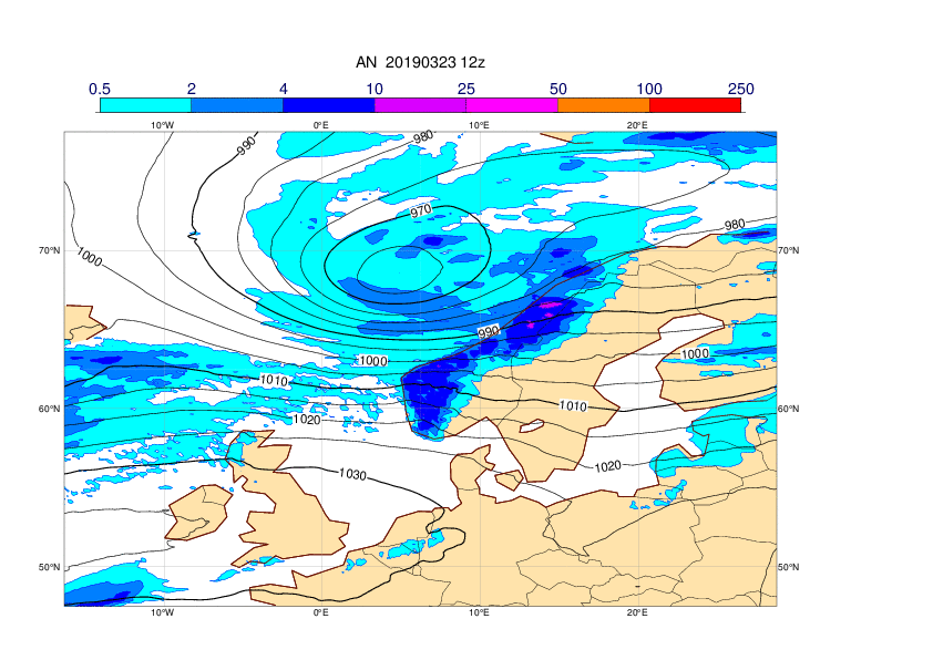
The plots below show analyses of MSLP and 6-hour precipitation forecasts every 12h hour between 21 and 24 March..


3. Predictability
3.1 Data assimilation
3.2 HRES
The plots below show observations of 24-hour maximum wind gusts valid 23 March 00UTC to 24 March 00UTC (first plot) and HRES forecasts valid at the same period. The forecast plots also includes MSLP valid 23 March 12UTC.Strong wind gusts where present in all HRES forecasts from 5 days before the event and onwards, but the details of the cyclone settled 72h before.


3.3 ENS
The plots below show EFI and SOT for wind gusts valid 23 March. The signal in EFI got considerable stronger on 21 March, but some signal were present in all forecasts.


The plots below show EFI and SOT for maximum significant wave height valid 23 March.


The plot below shows the evolution of forecast for 24-hour maximum significant wave height valid 23 March for the point 65N, 10E. The plot includes ensemble (blue box-and-whisker), HRES (red dot) and model climate (red box-and-whisker).
