...
The below below shows the forecast evolution for 24-hour maximum wind gusts for the same region.

------------
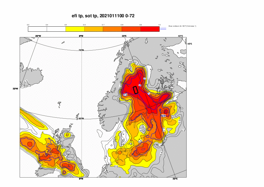
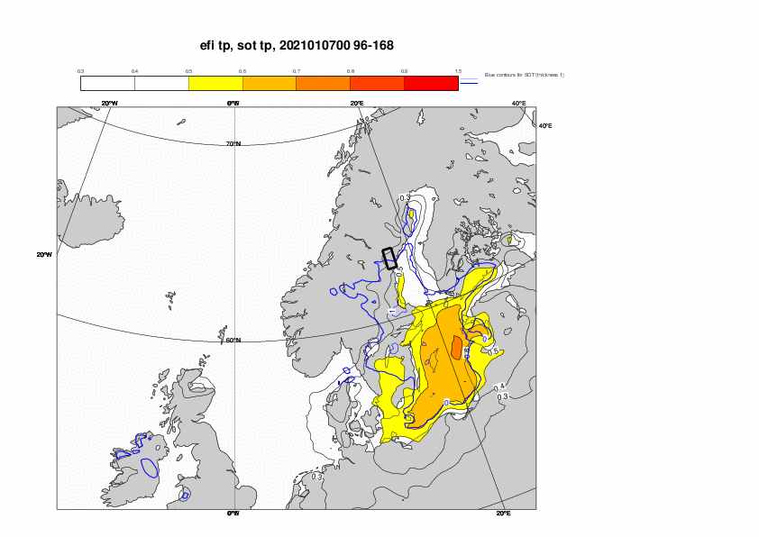
To directly compare the predictions of the event 202101 - Rainfall / Snowfall - NW Europe in almost the same region, the plot below show EFI and SOT for 3-day precipitation 11-13 January, and the evolution plot is for the same period in the outlined box. The signal was captured later in this event compared to the event a week later.


-----------
To evaluate the forecasts for the cold spell that followed after the cyclone, the plot below evaluates the forecasts for 2-metre temperature over southern Sweden 14-16 January, for the region outline in the 1-3 day EFI plot for the same period below. The cold signal started to appear on 28 December.
...