Status: Ongoing analysis Material from: Linus
1. Impact
On 11-12 January central-northern parts of Sweden was hit by extreme snowfall together with strong winds. Some stations reported more than 50 cm of snow accumulation.
2. Description of the event
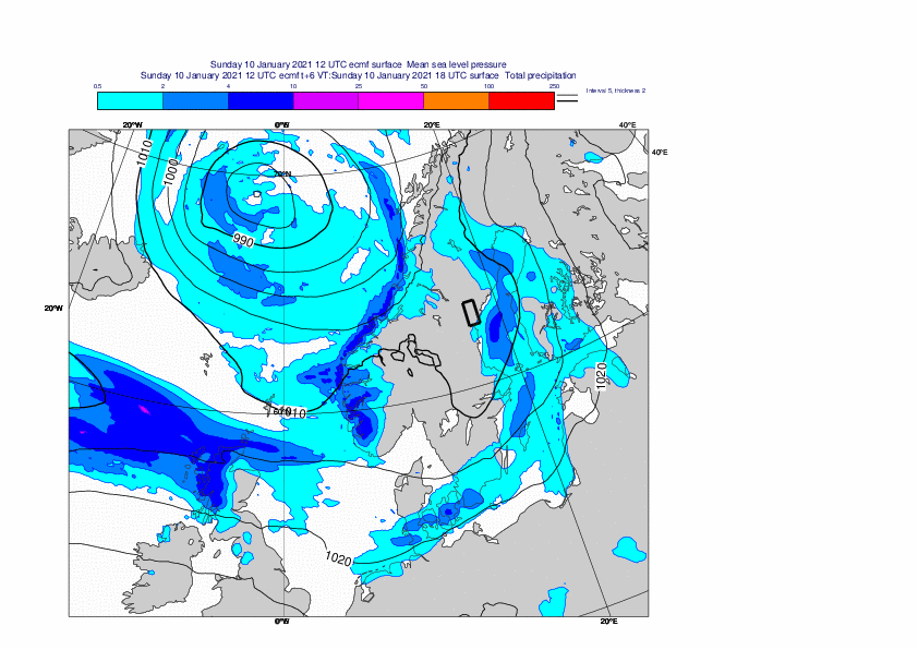
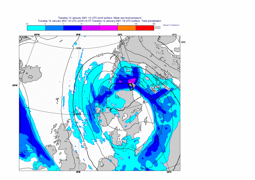
The plots below show analyses of MSLP and 6-hour forecasts of precipitation. The first plot is from 10 January 12UTC and last 13 January 00UTC, every 12 hours.


The plots below show analyses of z500 and t850 from 9 to 12 January (12UTC), every 24h.


3. Predictability
3.1 Data assimilation
3.2 HRES
The plots below show HRES forecasts of 24-hour maximum wind gusts ending on 12 January 12UTC.


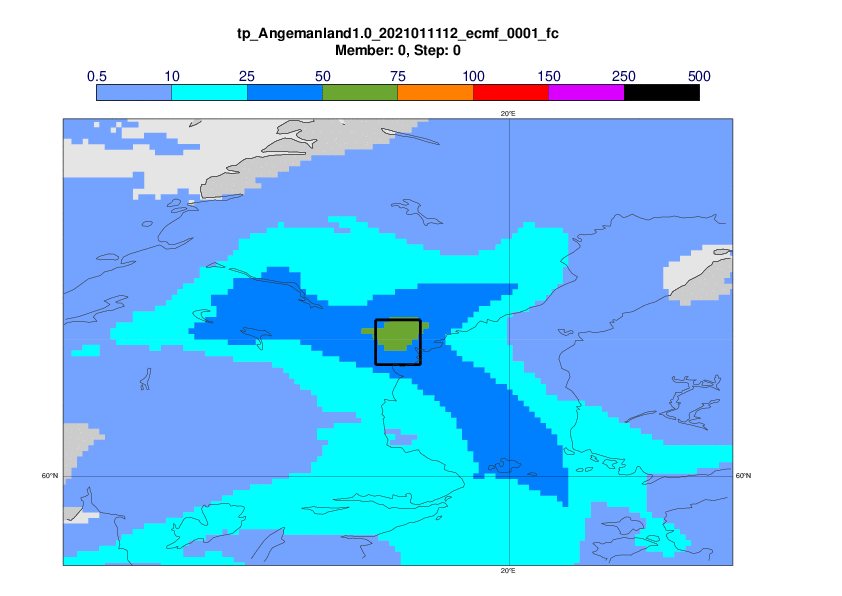
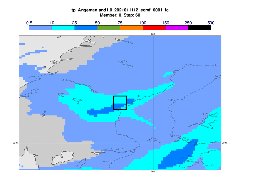
The plots below show HRES forecasts of 24-hour precipitation ending on 12 January 12UTC.


3.3 ENS
The plots below show EFI and SOT for 24-hour maximum wind gusts on 11 January (00-00UTC).


The plots below show EFI and SOT for 24-hour precipitation on 11 January (00-00UTC).


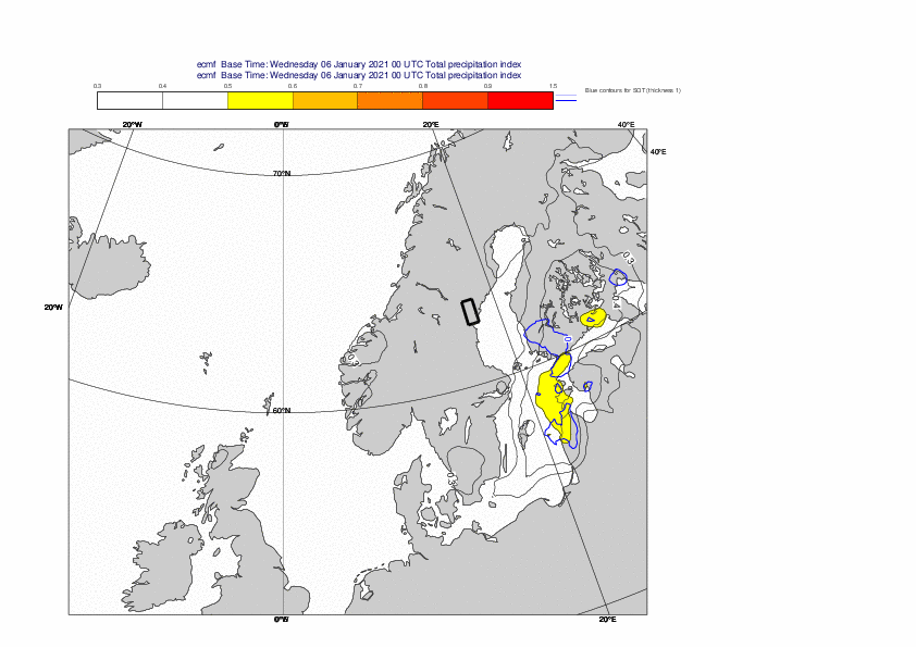

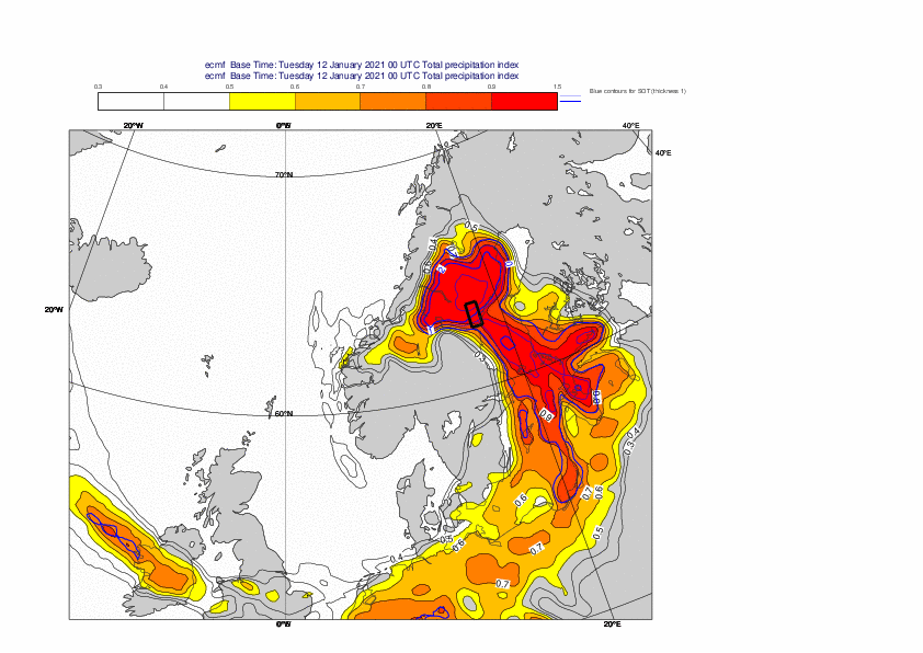
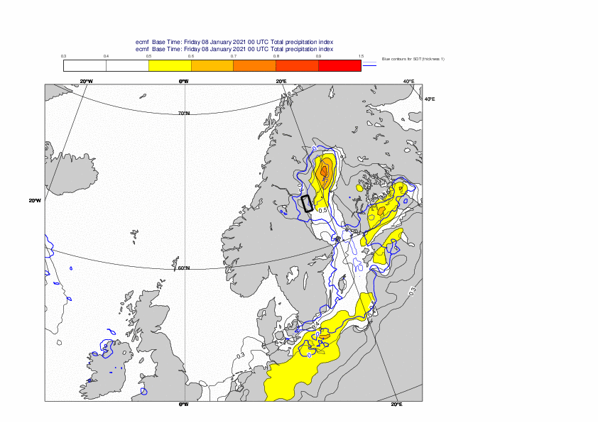
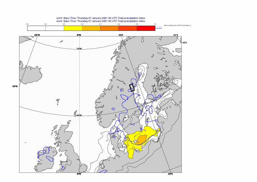
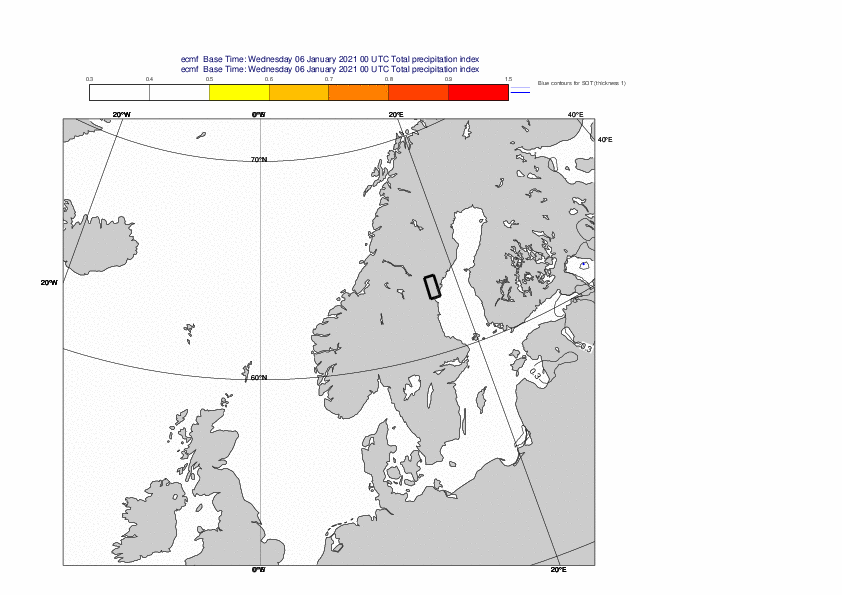
The plots below show EFI and SOT for 24-hour precipitation on 12 January (00-00UTC).