Material from: Linus, Ervin, ...
1. Overview
2. Analyses and Observations
2.1 Event Definition
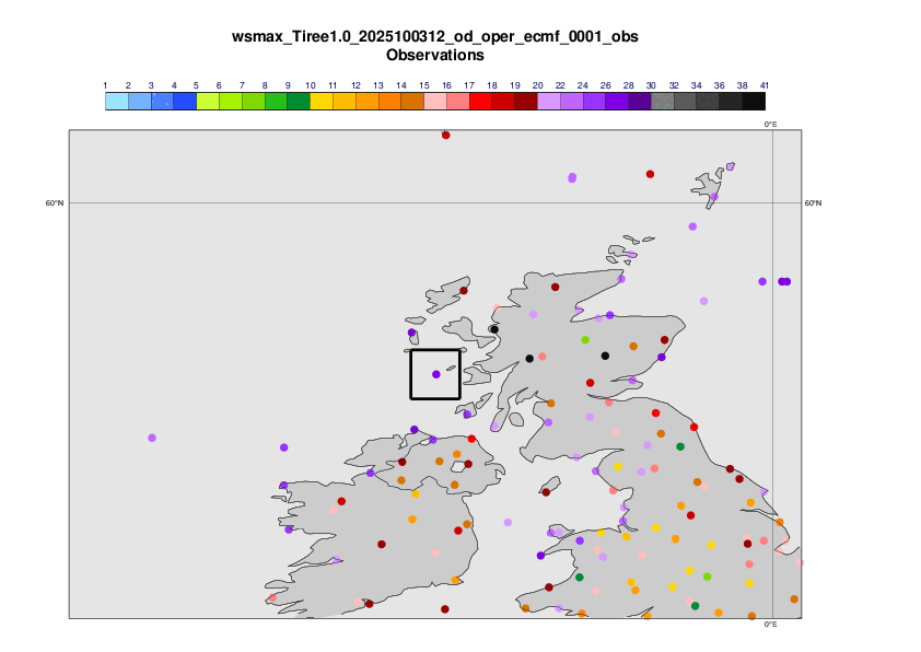
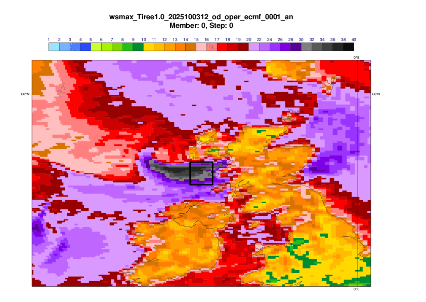
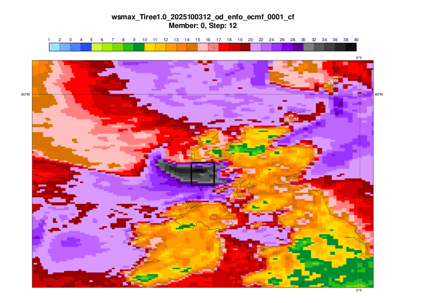
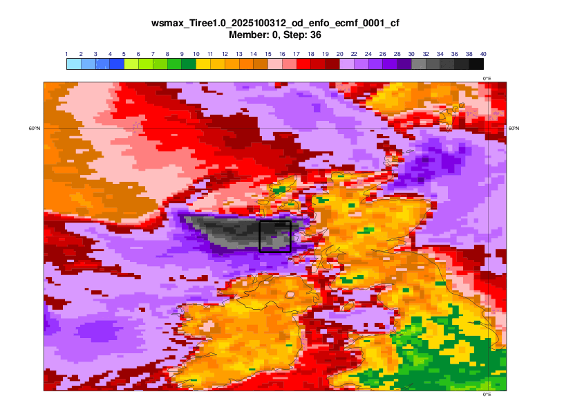
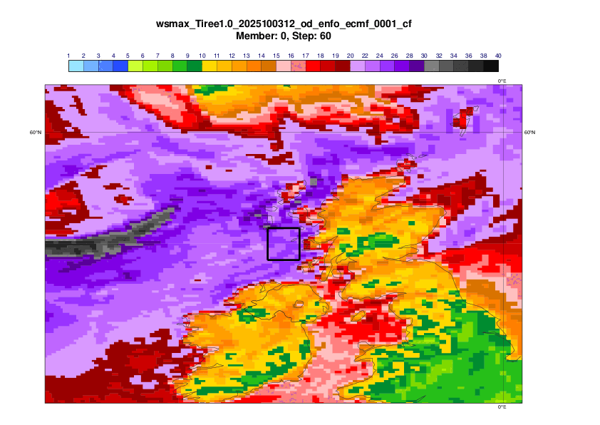
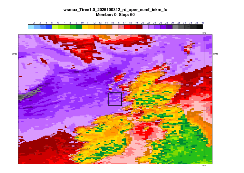
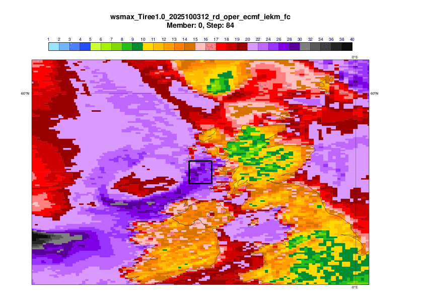
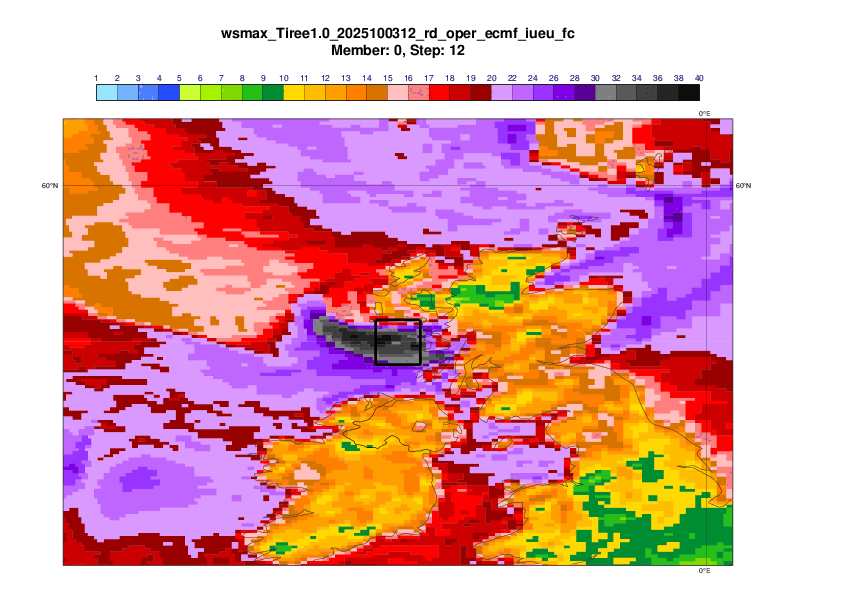
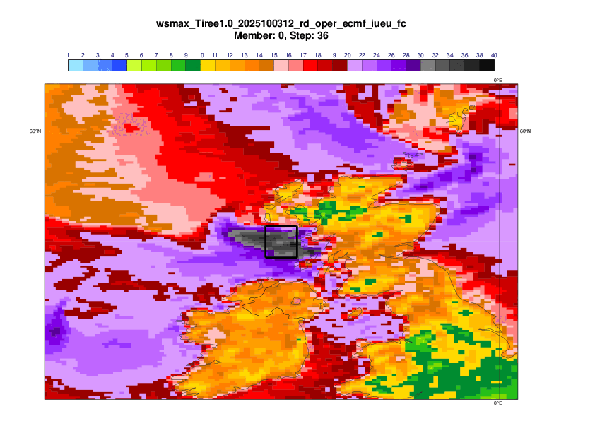
The evaluation will focus on the 24-hour maximum mean wind on 3 October 12UTC to 4 October 12UTC in the box 1x1 degree box centred on Tiree (56.5N, 6.9W)
2.2 Analyses
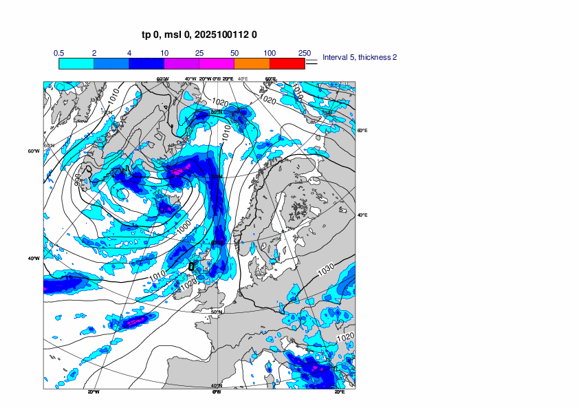
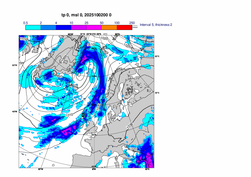
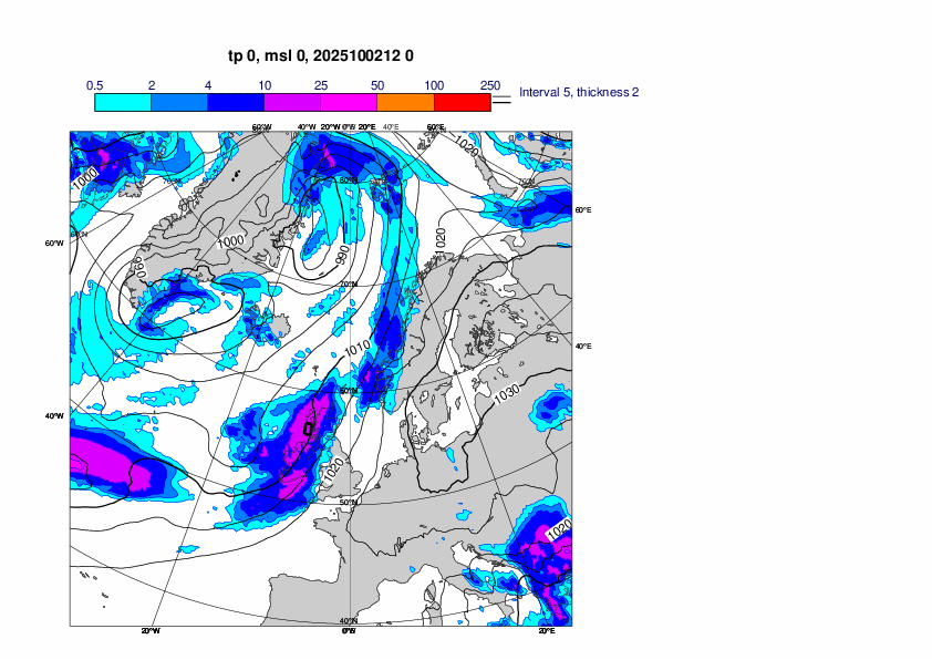
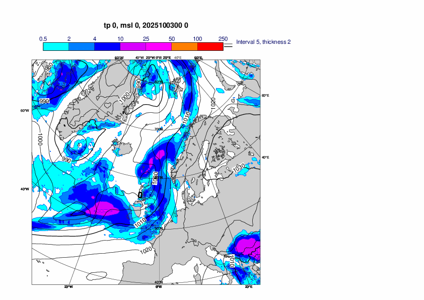
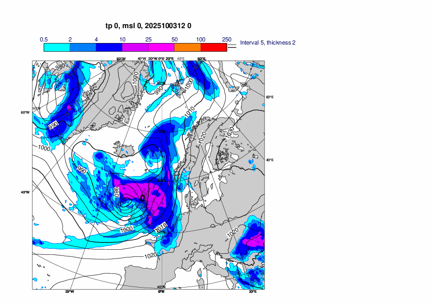
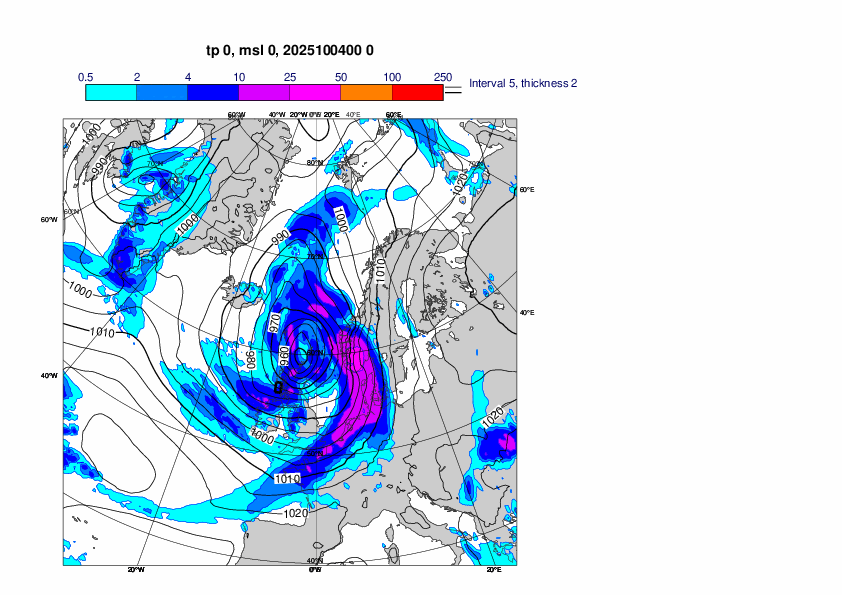
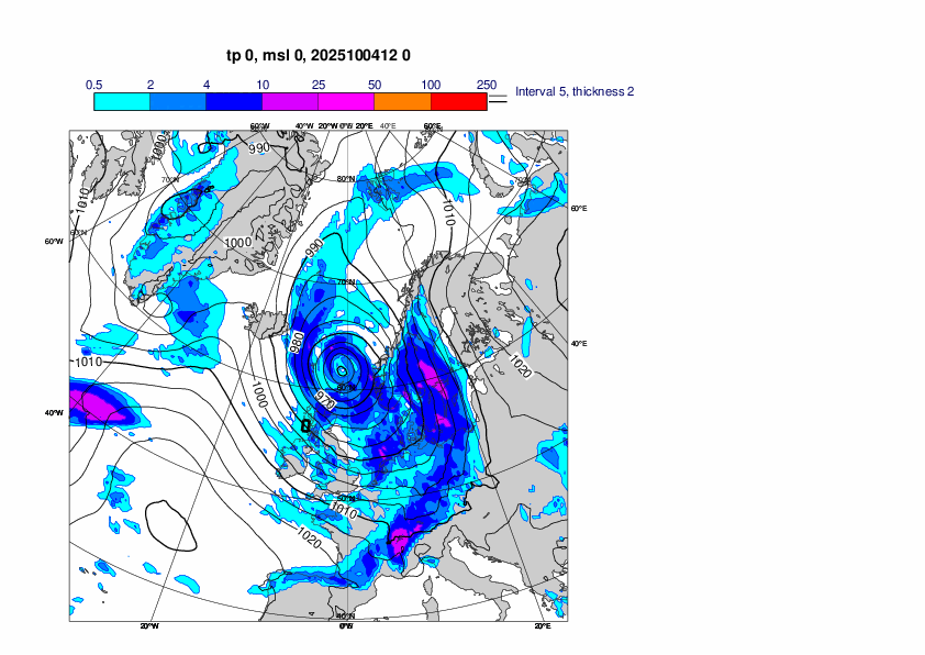
The plots below show analyses of MSLP and 6 hour rainfall from 1 October 12UTC to 4 October 12UTC, every 12th hour.
2.3 Observations
2.4 Climatological perspective
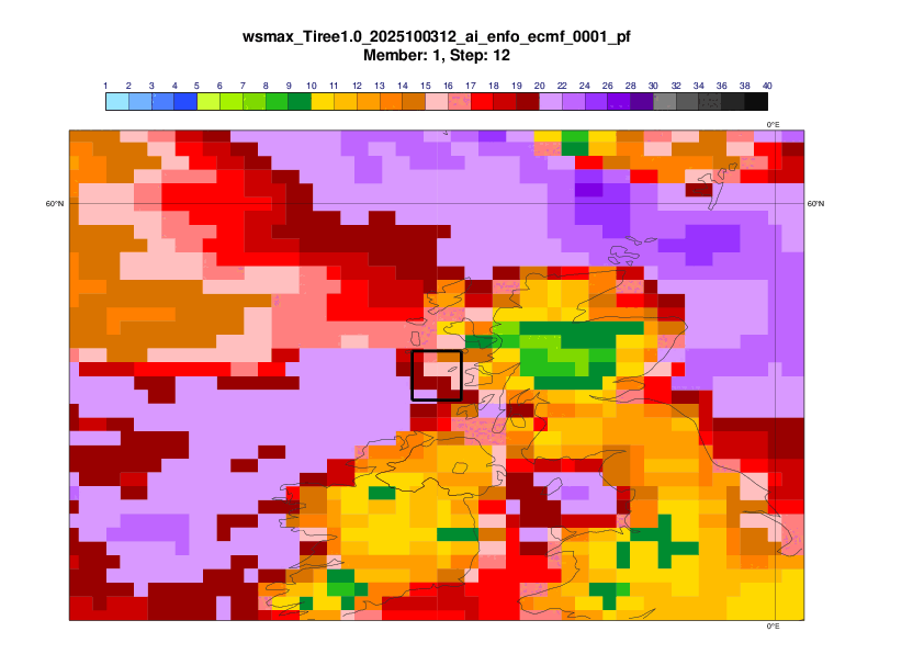
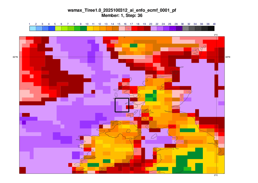
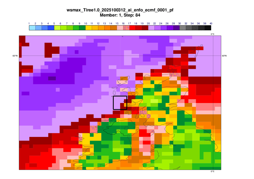
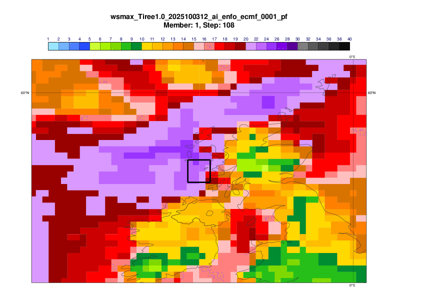
3. Forecasts
3.1 Data assimilation and observation usage
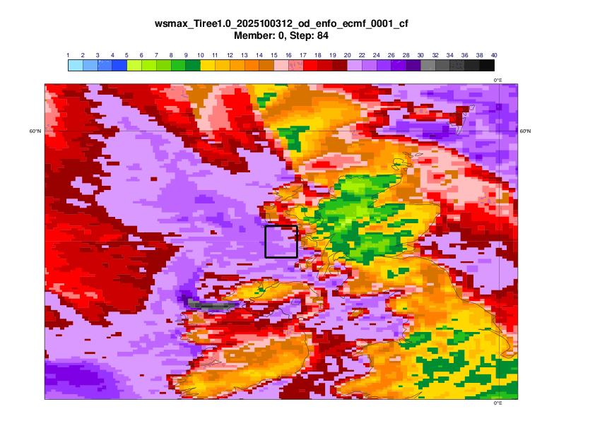
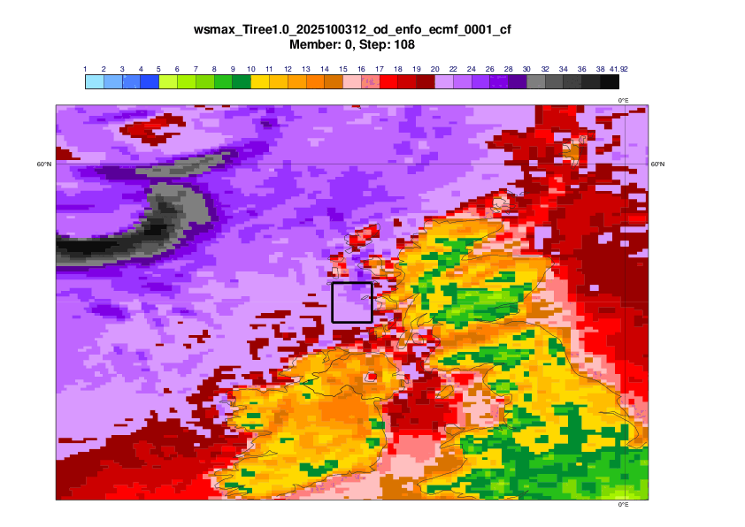
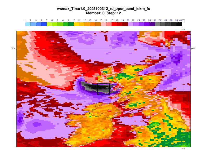
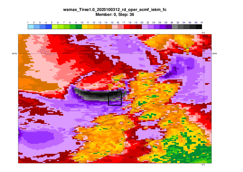
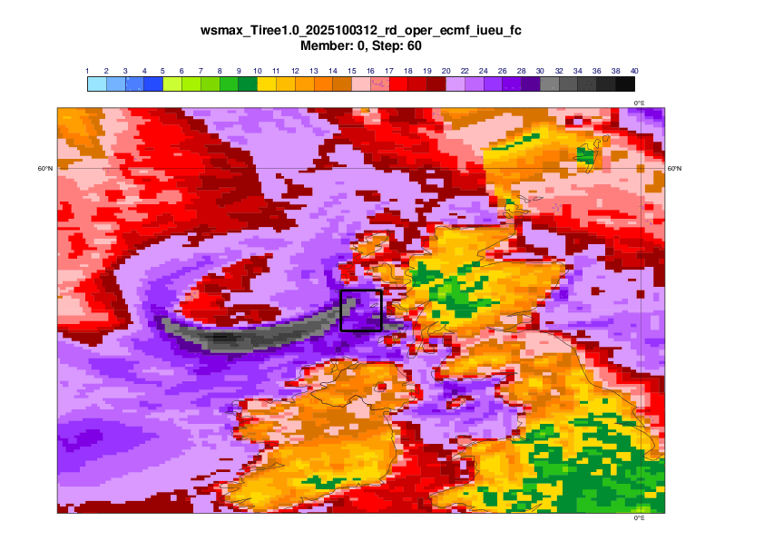
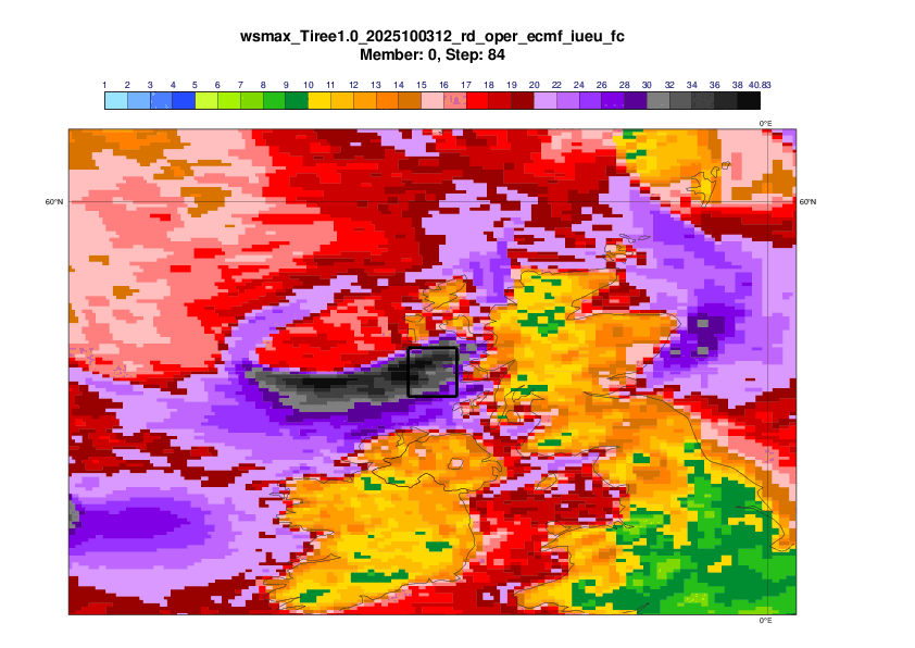
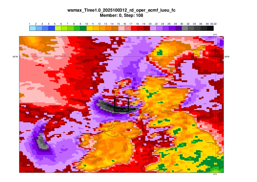
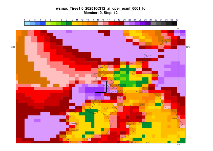
3.2 Single Forecasts for the event based on 00UTC forecasts (defined in Section 2.1)
Observations and analysis for the event
Control forecast (IFS 9-km resolution)
DestinE (IFS 4.4km resolution)
Hybrid
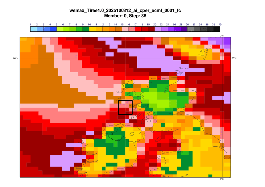
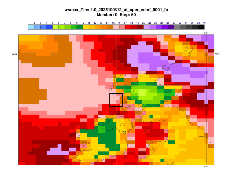
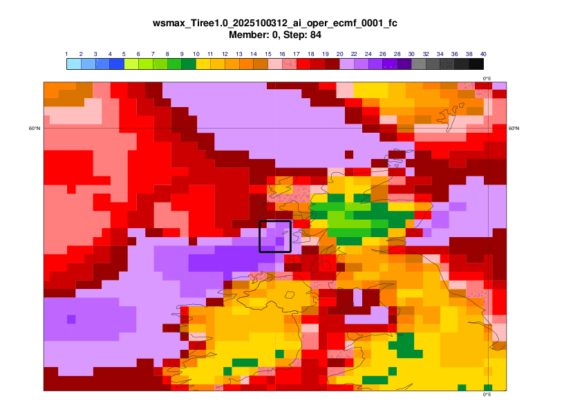
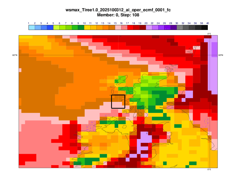
AIFS-single (AIFSv1.0 ~0.25 resolution)
AIFS-CRPS ensemble (~0.25 degree resolution)

3.3 Ensemble distribution
EFI (based on IFS 9-km ensemble)
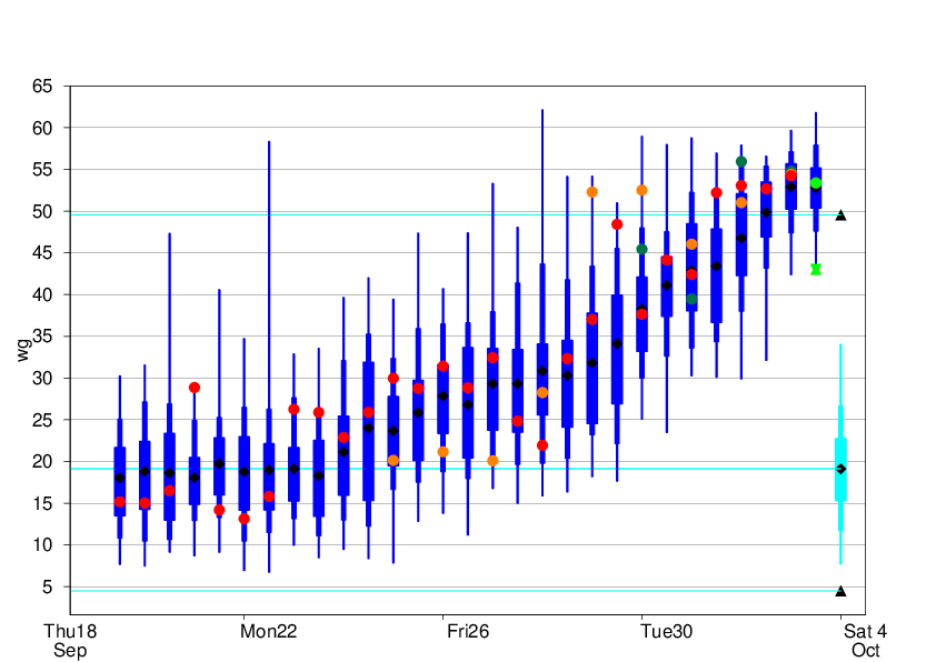
Forecast Evolution plot
The plot below shows the evolution of 24-hour maximum mean wind in a 1x1 degree box centred on Tiree (see plots above). Note that the observation station on Tiree broke down during the event, so the observed maximum might be underestimated.
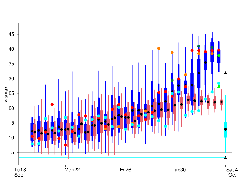
Legend:
Observation - green hourglass
Analysis - green dot
ENS CF - red dot
DestinE 4.4km - evergreen
AIFS-single - cyan dot
Hybrid - orange dot
ENS distribution - blue
AIFS-ENS distribution - pink
ENS m-climate - cyan
ENS m-climate maximum - black triangle
The plot below shows the same as above but for 24-hour maximum wind gusts. (But without AIFS.)
3.4 Sub-seasonal forecasts